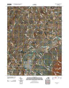
2010 Map of Grottoes
USGS Topo · Published 2010About this map
Port Republic stands at the confluence of the North River and the South River, where they merge to form the South Fork Shenandoah River. This area is defined by its deep historical roots and river-based topography, including the site of the Port Republic Post Office and the nearby Port Republic Cemetery. The town of Grottoes is positioned just south of this junction, laid out in a grid pattern along the riverbank.
Find a feature on this map
63 named features on this map. Tap any name to fly to it.
Don’t see what you’re looking for? This feature index may not catch every label — zoom into the map to look around manually.
Map Details
Editions of this 2010 Grottoes Map
This is the sole edition of this map. No revisions or reprints were ever made.
Other maps of this area

1892 · Harrisonburg
USGS Topo · 1:125,000

1931 · University
USGS Topo · 1:62,500

1934 · Waynesboro
USGS Topo · 1:48,000

1935 · University
USGS Topo · 1:62,500

1937 · Elkton
USGS Topo · 1:62,500

1939 · Waynesboro
USGS Topo · 1:62,500

1941 · Harrisonburg
USGS Topo · 1:62,500

1943 · Harrisonburg
USGS Topo · 1:62,500

1949 · Charlottesville
USGS Topo · 1:250,000

1956 · Charlottesville
USGS Topo · 1:250,000