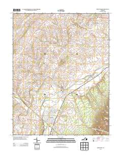
2013 Map of Grottoes
USGS Topo · Published 2013About this map
The confluence of the N River and S River at Port Republic defines this Shenandoah Valley landscape, where the waters join to form the S Fork Shenandoah River. The town of Grottoes sits just to the south, its street grid laid out near the base of Cave Hill. This 2013 survey illustrates the enduring agricultural and hydraulic history of the region, featuring longstanding rural communities like Goods Mill and Pineville alongside active commercial operations such as the Hickory Nut Poultry Farm and Honey Port Farms.
Find a feature on this map
147 named features on this map. Tap any name to fly to it.
Don’t see what you’re looking for? This feature index may not catch every label — zoom into the map to look around manually.
Map Details
Editions of this 2013 Grottoes Map
This is the sole edition of this map. No revisions or reprints were ever made.
Other maps of this area

1892 · Harrisonburg
USGS Topo · 1:125,000

1931 · University
USGS Topo · 1:62,500

1934 · Waynesboro
USGS Topo · 1:48,000

1935 · University
USGS Topo · 1:62,500

1937 · Elkton
USGS Topo · 1:62,500

1939 · Waynesboro
USGS Topo · 1:62,500

1941 · Harrisonburg
USGS Topo · 1:62,500

1943 · Harrisonburg
USGS Topo · 1:62,500

1949 · Charlottesville
USGS Topo · 1:250,000

1956 · Charlottesville
USGS Topo · 1:250,000