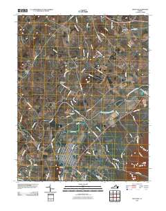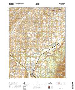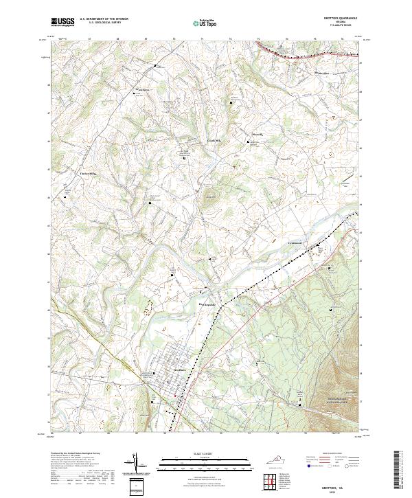
2022 Map of Grottoes
USGS Topo · Published 2022About this map
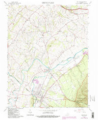
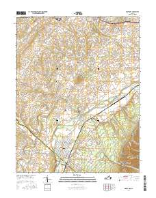
Port Republic sits at the strategic confluence of the North River and South River, where they merge to form the South Fork Shenandoah River. This area is heavy with historical weight, marked by Battlefield Rd and Artillery Rd, reflecting the region's Civil War significance. To the south, the town of Grottoes is defined by its proximity to Cave Hill and the Augusta Co line. The map is a rich resource for genealogists, documenting numerous family burial sites such as the Pirkey Family Cem, Hooke Family Cem, and the Roadcap Burial Ground. The eastern edge of the survey transitions into the rising terrain of Shenandoah National Park, featuring Austin Mtn and the winding Madison Run Road Trl through the Blue Ridge foothills.
Find a feature on this map
71 named features on this map. Tap any name to fly to it.
Don’t see what you’re looking for? This feature index may not catch every label — zoom into the map to look around manually.
Map Details
Editions of this 2022 Grottoes Map
This is the sole edition of this map. No revisions or reprints were ever made.
Historical Maps of Grottoes Through Time
6 maps found