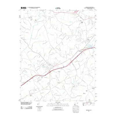
2011 Map of Grover
USGS Topo · Published 2011About this map
The town of Grover straddles the North and South Carolina border, serving as a focal point for this 2011 survey of the Piedmont landscape. The area is defined by its memorial geography, most notably the northern edge of the Kings Mtn Natl Military Park and the nearby Kings Mountain Battleground Cemetery. These landmarks, along with a high density of family burial grounds such as the Smith Cemetery, Deal Cemetery, and Howser Cemetery, suggest a deeply rooted local heritage spanning centuries.
Find a feature on this map
159 named features on this map. Tap any name to fly to it.
Don’t see what you’re looking for? This feature index may not catch every label — zoom into the map to look around manually.
Map Details
Editions of this 2011 Grover Map
This is the sole edition of this map. No revisions or reprints were ever made.
Other maps of this area

1906 · Kings Mountain
USGS Topo · 1:62,500

1908 · Kings Mountain
USGS Topo · 1:62,500

1909 · Gaffney
USGS Topo · 1:62,500

1909 · Lincolnton
USGS Topo · 1:62,500

1911 · Lincolnton
USGS Topo · 1:62,500

1950 · Shelby
USGS Topo · 1:62,500

1953 · Charlotte
USGS Topo · 1:250,000

1954 · Charlotte
USGS Topo · 1:250,000

1960 · Charlotte
USGS Topo · 1:250,000

1962 · Charlotte
USGS Topo · 1:250,000