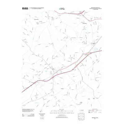
2013 Map of Grover
USGS Topo · Published 2013About this map
The town of Grover straddles the North Carolina-South Carolina border, serving as a focal point for this 2013 survey. The landscape is defined by the intersection of major transport corridors and rolling topography, with Archdale and Midpine marking the eastward expansion along the highway. To the south, the terrain becomes increasingly prominent near Browns Mountain and Joes Mountain, while the southern margin captures a portion of the Kings Mtn Natl Military Park.
Find a feature on this map
228 named features on this map. Tap any name to fly to it.
Don’t see what you’re looking for? This feature index may not catch every label — zoom into the map to look around manually.
Map Details
Editions of this 2013 Grover Map
This is the sole edition of this map. No revisions or reprints were ever made.
Other maps of this area

1906 · Kings Mountain
USGS Topo · 1:62,500

1908 · Kings Mountain
USGS Topo · 1:62,500

1909 · Gaffney
USGS Topo · 1:62,500

1909 · Lincolnton
USGS Topo · 1:62,500

1911 · Lincolnton
USGS Topo · 1:62,500

1950 · Shelby
USGS Topo · 1:62,500

1953 · Charlotte
USGS Topo · 1:250,000

1954 · Charlotte
USGS Topo · 1:250,000

1960 · Charlotte
USGS Topo · 1:250,000

1962 · Charlotte
USGS Topo · 1:250,000