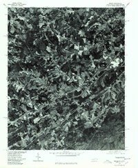
1976 Map of Grover
USGS Topo · Published 1978About this map
Grover sits at the heart of this 1976 orthophotograph, straddling the border between North Carolina and South Carolina. This unique aerial perspective, produced in cooperation with the North Carolina Department of Natural and Economic Resources, reveals the intricate land use patterns of Cleveland County during the mid-1970s. The visual data contrasts the dense, wooded sections of the Piedmont with clear-cut agricultural fields and the evolving transportation corridors that define the region's movement.
Find a feature on this map
3 named features on this map. Tap any name to fly to it.
Don’t see what you’re looking for? This feature index may not catch every label — zoom into the map to look around manually.
Map Details
Editions of this 1976 Grover Map
This is the sole edition of this map. No revisions or reprints were ever made.
Other maps of this area

1906 · Kings Mountain
USGS Topo · 1:62,500

1908 · Kings Mountain
USGS Topo · 1:62,500

1909 · Gaffney
USGS Topo · 1:62,500

1909 · Lincolnton
USGS Topo · 1:62,500

1911 · Lincolnton
USGS Topo · 1:62,500

1950 · Shelby
USGS Topo · 1:62,500

1953 · Charlotte
USGS Topo · 1:250,000

1954 · Charlotte
USGS Topo · 1:250,000

1960 · Charlotte
USGS Topo · 1:250,000

1962 · Charlotte
USGS Topo · 1:250,000