Loading...
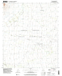
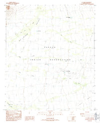
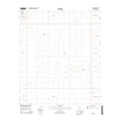
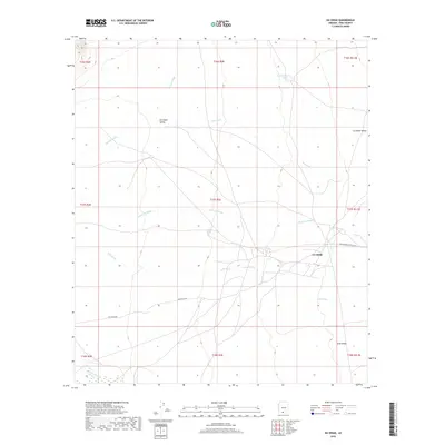
Loading map...1996 Map of Gu Oidak
USGS Topo · Published 2002About this map
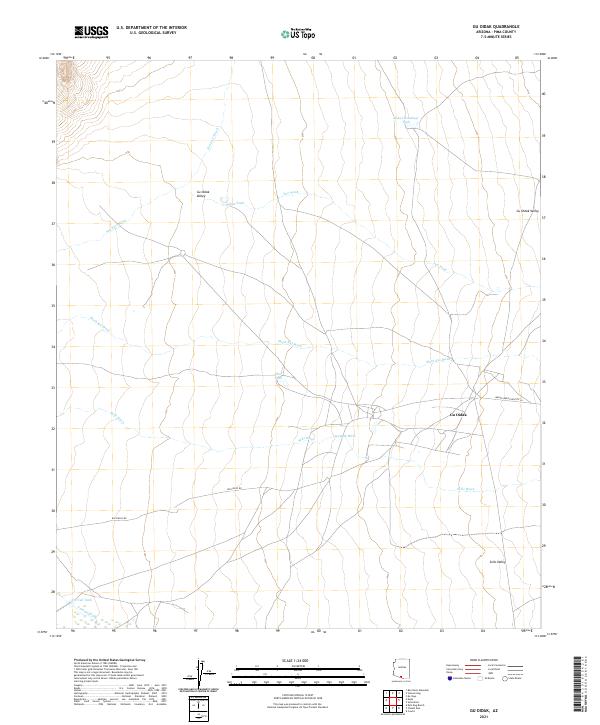
Gu Oidak is the primary settlement within the Gu Oidak Valley, situated in the heart of the Tohono O'odham Indian Reservation. The landscape is defined by an intricate network of desert watercourses, including San Luis Wash and Sells Wash, which navigate the arid terrain toward the Sells Valley to the south.
Find a feature on this map
13 named features on this map. Tap any name to fly to it.
Don’t see what you’re looking for? This feature index may not catch every label — zoom into the map to look around manually.
Map Details
Date Portrayed1996
Date Published2002
PublisherU.S. Geological Survey
Map TypeTopographic
Scale1:24,000
Physical Dimensions22 x 26.8 inches
Editions of this 1996 Gu Oidak Map
This is the sole edition of this map. No revisions or reprints were ever made.
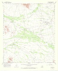
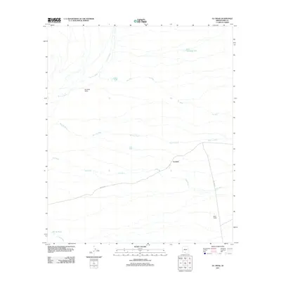
Historical Maps of Gu Oidak Through Time
7 maps found
Featured Locations
Source Details
SourceU.S. Geological Survey
CopyrightPublic Domain