Loading...
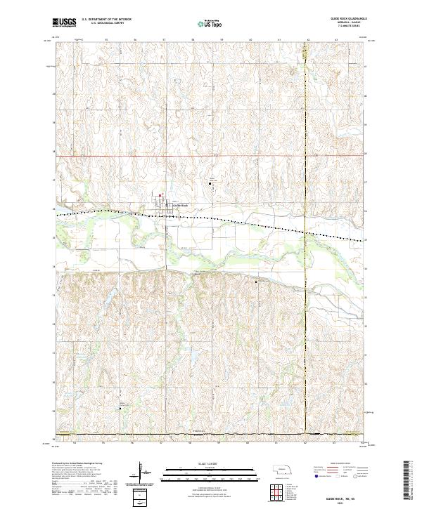
Loading map...2021 Map of Guide Rock
USGS Topo · Published 2021About this map
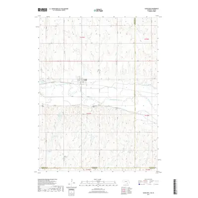
Guide Rock serves as the central hub of this Nebraska landscape, situated near the north bank of the Republican River. The terrain is defined by a dense network of seasonal drainages including Minnie Cr, Soap Cr, and Sand Cr, which flow through the undulating plains toward the river valley. To the south, the landscape transitions into the rolling hills of Oak Valley as it approaches the border with Kansas.
Find a feature on this map
56 named features on this map. Tap any name to fly to it.
Don’t see what you’re looking for? This feature index may not catch every label — zoom into the map to look around manually.
Map Details
Date Portrayed2021
Date Published2021
PublisherU.S. Geological Survey
Map TypeTopographic
Scale1:24,000
Physical Dimensions24 x 29 inches
Editions of this 2021 Guide Rock Map
This is the sole edition of this map. No revisions or reprints were ever made.
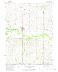
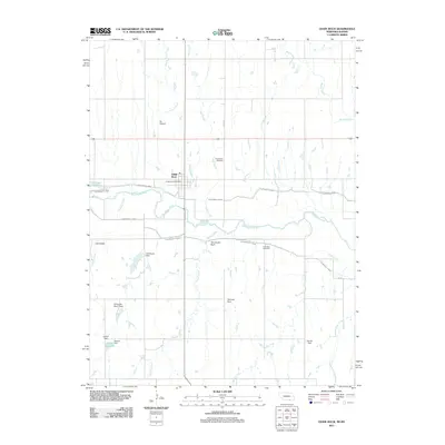
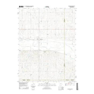
Historical Maps of Guide Rock Through Time
5 maps found
Featured Locations
Source Details
SourceU.S. Geological Survey
CopyrightPublic Domain