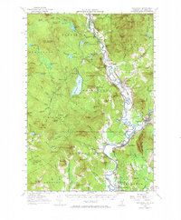
1956 Map of Guildhall
USGS Topo · Published 1971About this map
The Connecticut River serves as the winding spine of this landscape, defining the border between Vermont and New Hampshire during the mid-1950s. On the Vermont side, the expansive Maidstone State Forest and the clear waters of Maidstone Lake dominate the interior, while small riverside settlements like Brunswick Springs and Maidstone dot the valley floor. The map highlights a significant transportation corridor where the Grand Trunk and Maine Central rail lines converge near Groveton and Northumberland.
Find a feature on this map
118 named features on this map. Tap any name to fly to it.
Don’t see what you’re looking for? This feature index may not catch every label — zoom into the map to look around manually.
Map Details
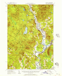
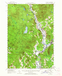
Editions of this 1956 Guildhall Map
3 editions found
Other maps of this area

1893 · Mt. Washington
USGS Topo · 1:62,500

1896 · Mt. Washington
USGS Topo · 1:62,500

1900 · Whitefield
USGS Topo · 1:62,500

1920 · Guildhall
USGS Topo · 1:62,500

1924 · Island Pond
USGS Topo · 1:48,000

1926 · Island Pond
USGS Topo · 1:62,500

1929 · Averill
USGS Topo · 1:62,500

1930 · Percy
USGS Topo · 1:62,500

1930 · Dixville
USGS Topo · 1:62,500

1931 · Guildhall
USGS Topo · 1:48,000