
1926 Map of Island Pond
USGS Topo · Published 1926About this map
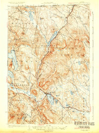
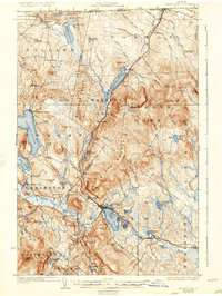
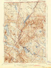
The Grand Trunk Railway anchors the commerce of this Vermont border region, threading through the high country from Norton Mills down to the rail hub at Island Pond. Surveyed in the mid-1920s, the landscape reveals a sparse but deliberate network of timber-era infrastructure and rural education, where nearly every drainage basin supports a small schoolhouse like the Lyon Bridge School or McDennis School. The map captures the distinct boundary between the organized towns of Holland and Brighton and the more primitive, unincorporated lands of Warner's Gore and Avery's Gore. Water defines the economy and travel of the era, with substantial bodies like Seymour Lake and Holland Pond punctuating the terrain. Notable landmarks of early industry and settlement, including Page Mill and the remote Carpenters Big Camp, offer specific points of interest for those tracing the development of Essex and Orleans counties.
Find a feature on this map
101 named features on this map. Tap any name to fly to it.
Don’t see what you’re looking for? This feature index may not catch every label — zoom into the map to look around manually.
Map Details
Editions of this 1926 Island Pond Map
4 editions found
Other maps of this area

1919 · Lake Memphremagog
USGS Topo · 1:62,500

1920 · Derby
USGS Topo · 1:62,500

1920 · Guildhall
USGS Topo · 1:62,500

1923 · Lake Memphremagog
USGS Topo · 1:48,000

1924 · Island Pond
USGS Topo · 1:48,000

1925 · Memphremagog
USGS Topo · 1:62,500

1929 · Averill
USGS Topo · 1:62,500

1931 · Guildhall
USGS Topo · 1:48,000

1933 · Guildhall
USGS Topo · 1:48,000

1935 · Lyndonville
USGS Topo · 1:48,000