
1925 Map of Memphremagog
USGS Topo · Published 1925About this map
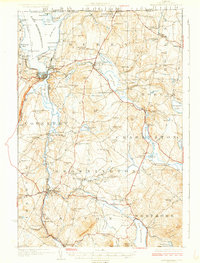
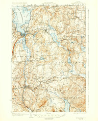
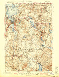
The international border between Canada and the United States defines the northern edge of this 1920s survey, where Derby Line and Beebe Plain sit directly on the frontier. This region of Orleans County is anchored by the southern tip of Lake Memphremagog and the industrial hub at Newport. The landscape is a network of small upland farming and quarrying communities, notably featuring the Willey Granite Quarry tucked among the Salem Hills.
Find a feature on this map
119 named features on this map. Tap any name to fly to it.
Don’t see what you’re looking for? This feature index may not catch every label — zoom into the map to look around manually.
Map Details
Editions of this 1925 Memphremagog Map
4 editions found
Other maps of this area

1919 · Lake Memphremagog
USGS Topo · 1:62,500

1920 · Derby
USGS Topo · 1:62,500

1920 · Irasburg
USGS Topo · 1:62,500

1923 · Irasburg
USGS Topo · 1:48,000

1923 · Lake Memphremagog
USGS Topo · 1:48,000

1924 · Island Pond
USGS Topo · 1:48,000

1925 · Irasburg
USGS Topo · 1:62,500

1926 · Island Pond
USGS Topo · 1:62,500

1928 · Hardwick
USGS Topo · 1:62,500

1934 · Hardwick
USGS Topo · 1:48,000