
1925 Map of Irasburg
USGS Topo · Published 1925About this map
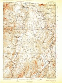
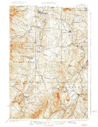
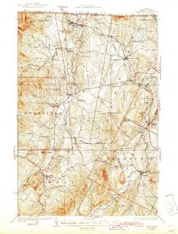
North Troy and the winding Missisquoi River define this international border landscape in the mid-1920s. This survey records an era of decentralized local education, with numerous small schoolhouses like the Hitchcock School, Trumpass School, and Le Clair School serving rural families across the townships of Jay, Lowell, and Irasburg. The Canadian Pacific railroad provides the primary industrial artery, passing through Summit Siding and Newport Center toward the shores of Lake Memphremagog.
Find a feature on this map
76 named features on this map. Tap any name to fly to it.
Don’t see what you’re looking for? This feature index may not catch every label — zoom into the map to look around manually.
Map Details
Editions of this 1925 Irasburg Map
4 editions found
Other maps of this area

1919 · Lake Memphremagog
USGS Topo · 1:62,500

1919 · Montgomery
USGS Topo · 1:62,500

1920 · Montgomery
USGS Topo · 1:62,500

1920 · Derby
USGS Topo · 1:62,500

1920 · Irasburg
USGS Topo · 1:62,500

1923 · Irasburg
USGS Topo · 1:48,000

1923 · Lake Memphremagog
USGS Topo · 1:48,000

1925 · Jay Peak
USGS Topo · 1:62,500

1925 · Memphremagog
USGS Topo · 1:62,500

1927 · Hyde Park
USGS Topo · 1:48,000