
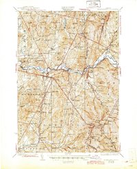
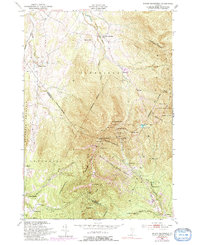
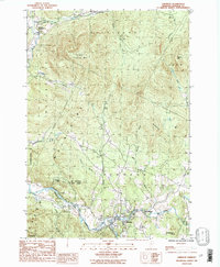
1927 Map of Hyde Park
USGS Topo · Published 1927About this map
The Gihon River and the Lamoille River anchor this 1927 survey of north-central Vermont, a landscape defined by its small farming hamlets and a dense network of district schoolhouses. From Belvidere Junction in the north to the busy centers of Morrisville and Hyde Park, the map reveals a social geography that relied on localized infrastructure. One can trace dozens of rural schools, such as Pleasant Valley Sch and Mud City Sch, illustrating the density of settlement before the consolidation of the mid-20th century.
Find a feature on this map
136 named features on this map. Tap any name to fly to it.
Don’t see what you’re looking for? This feature index may not catch every label — zoom into the map to look around manually.
Map Details
Editions of this 1927 Hyde Park Map
This is the sole edition of this map. No revisions or reprints were ever made.
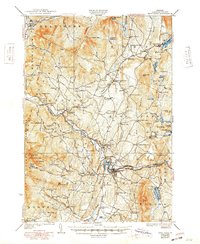
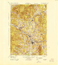
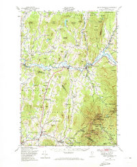
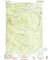
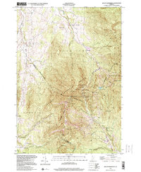
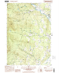
Historical Maps of Stowe Through Time
20 maps found

1925 Mount Mansfield
Lamoille County, VT
1927 Hyde Park
Lamoille County, VT
1927 Mount Mansfield
Lamoille County, VT
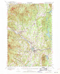
1930 Hyde Park
Lamoille County, VT
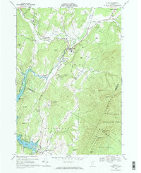
1943 Hyde Park
Lamoille County, VT

1944 Mount Mansfield
Lamoille County, VT
1948 Mount Mansfield
Lamoille County, VT
1948 Mount Mansfield
Lamoille County, VT
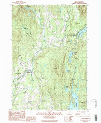
1953 Hyde Park
Lamoille County, VT
1968 Stowe
Lamoille County, VT
1986 Eden
Lamoille County, VT
1986 Johnson
Lamoille County, VT
1986 Sterling Mountain
Lamoille County, VT
1997 Mount Mansfield
Lamoille County, VT
1998 Sterling Mountain
Lamoille County, VT
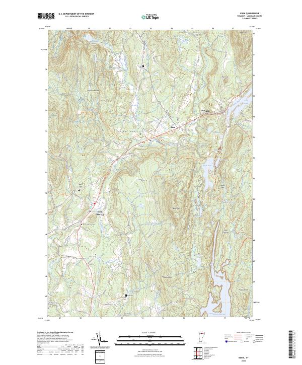
2024 Eden
Lamoille County, VT
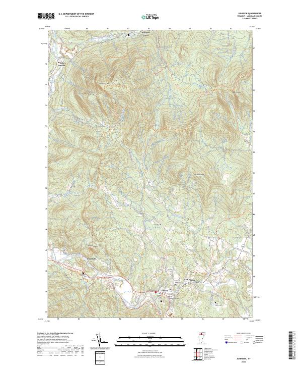
2024 Johnson
Lamoille County, VT
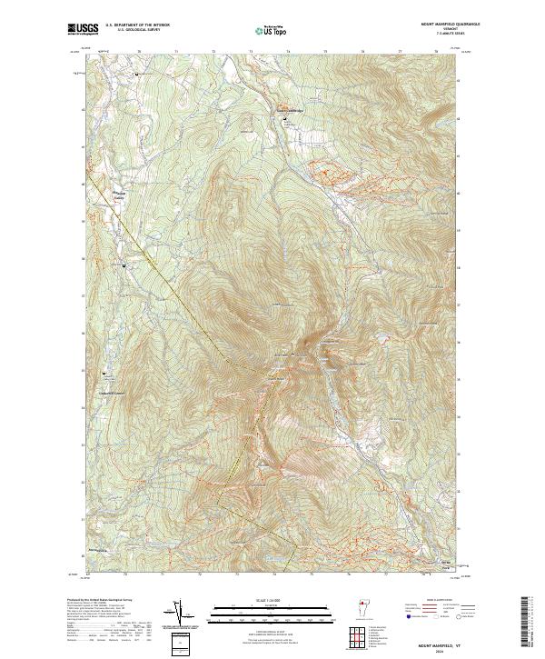
2024 Mount Mansfield
Lamoille County, VT
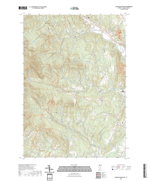
2024 Sterling Mountain
Lamoille County, VT
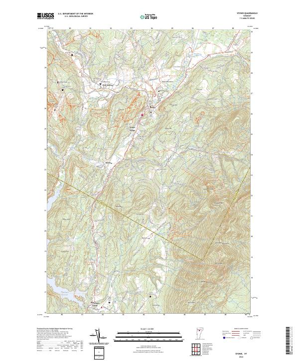
2024 Stowe
Lamoille County, VT