
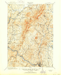
1921 Map of Montpelier
USGS Topo · Published 1921About this map
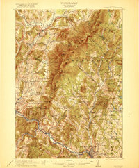
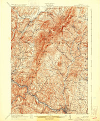
Montpelier sits at the confluence of the Winooski River and the North Branch Winooski River, serving as the southern anchor for a region defined by the high ridges of the Worcester Mountains. In the early 1920s, the Central Vermont Ry and the M and W R RR trace the river valleys, connecting the capital to industrial and agricultural outposts like Waterbury and Middlesex. The map reveals a dense network of district schools, from the Hampshire Hill School in the north to the Dudley School near the Middlesex Gorge, reflecting a rural society still structured around small, local communities.
Find a feature on this map
125 named features on this map. Tap any name to fly to it.
Don’t see what you’re looking for? This feature index may not catch every label — zoom into the map to look around manually.
Map Details
Editions of this 1921 Montpelier Map
6 editions found
Other maps of this area

1919 · Lincoln Mountain
USGS Topo · 1:62,500

1919 · Montpelier
USGS Topo · 1:62,500

1920 · Lincoln Mountain
USGS Topo · 1:48,000

1921 · Richmond
USGS Topo · 1:48,000

1921 · Lincoln Mountain
USGS Topo · 1:62,500

1922 · Barre
USGS Topo · 1:48,000

1924 · Barre
USGS Topo · 1:62,500

1924 · Camels Hump
USGS Topo · 1:62,500

1925 · Mount Mansfield
USGS Topo · 1:48,000

1927 · Mount Mansfield
USGS Topo · 1:62,500