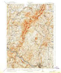
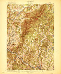
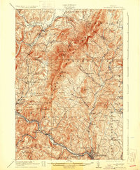
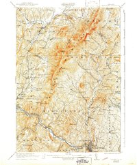
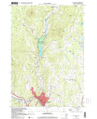
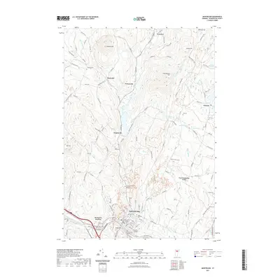
1921 Map of Montpelier
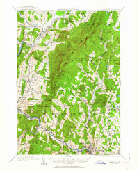
USGS Topo · Published 1938About this map
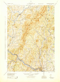
The Worcester Mountains dominate this central Vermont landscape, forming a dramatic north-south spine between the valleys of the Waterbury River and the North Branch. In the early twentieth century, the region's economy is clearly etched into the terrain, from the industrial Talc Mine near Waterbury to the numerous small district schools like Dudley School and Kneeland Flat School that served isolated upland farmsteads. The Winooski River carves a deep path through the southern portion of the map, creating the Middlesex Gorge and providing a natural corridor for the Roosevelt Highway. Settlement patterns are concentrated along these river valleys, with established centers like Montpelier and Stowe contrasted against smaller hamlets such as Adamant and Shady Rill. Researchers will find a remarkably dense network of named cemeteries and brooks that define the local geography of the era.
Find a feature on this map
115 named features on this map. Tap any name to fly to it.
Don’t see what you’re looking for? This feature index may not catch every label — zoom into the map to look around manually.
Map Details
Editions of this 1921 Montpelier Map
6 editions found

Historical Maps of Montpelier Through Time
11 maps found
1919 Montpelier
Washington County, VT
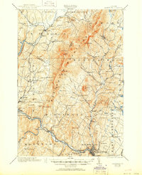
1921 Montpelier
Washington County, VT
1944 Montpelier
Washington County, VT
1968 Montpelier
Washington County, VT

1988 Montpelier
Washington County, VT
1999 Montpelier
Washington County, VT
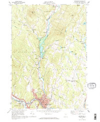
2012 Montpelier
Washington County, VT
2015 Montpelier
Washington County, VT
2018 Montpelier
Washington County, VT
2021 Montpelier
Washington County, VT
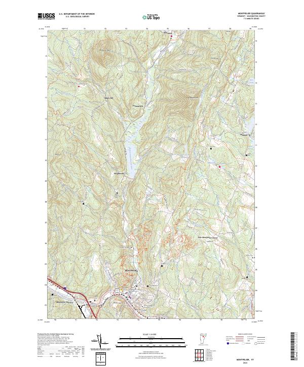
2024 Montpelier
Washington County, VT