
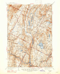
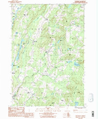
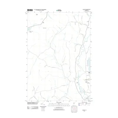
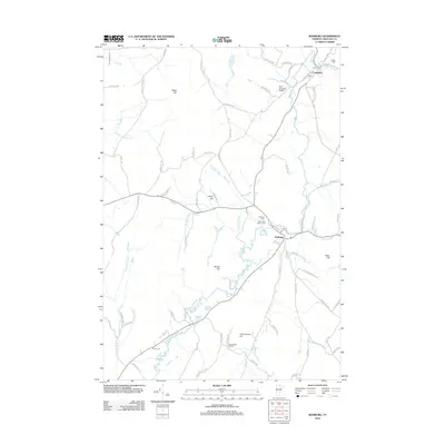
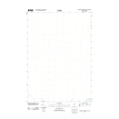
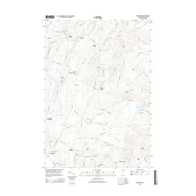
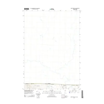
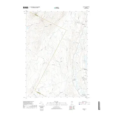
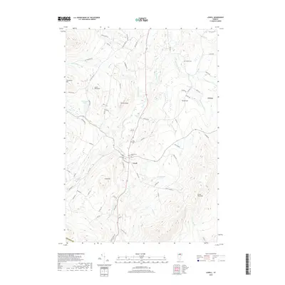
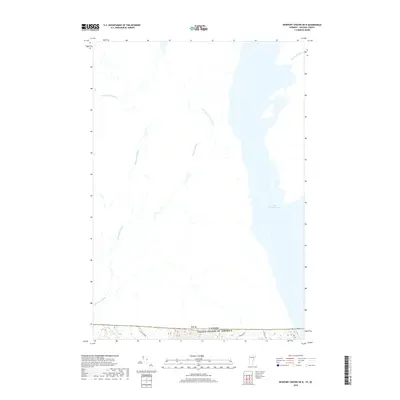
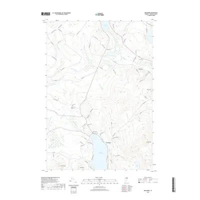
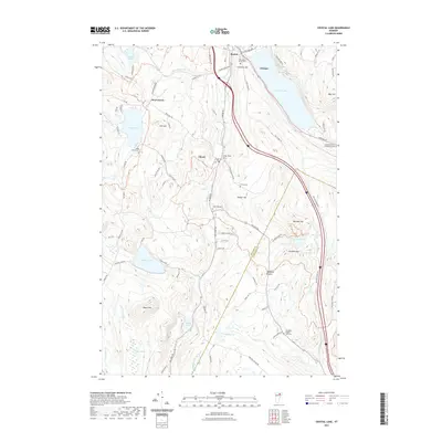
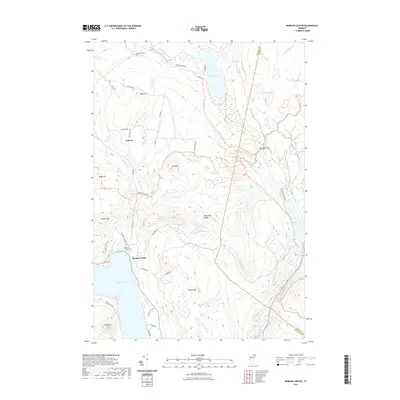
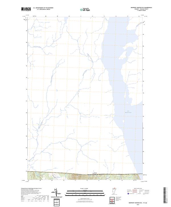
1923 Map of Lake Memphremagog
USGS Topo · Published 1923About this map
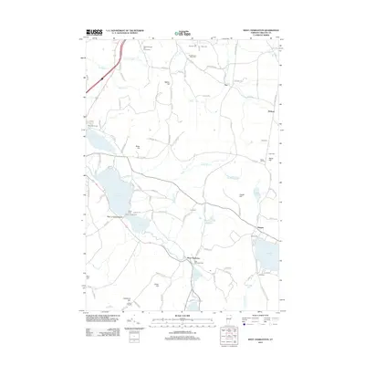
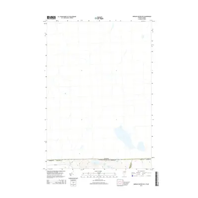
The International Boundary between Canada and the United States defines the northern edge of this Vermont landscape, where the settlements of Beebe Plain and Derby Line sit directly upon the frontier. This 1923 survey reveals a dense network of rural infrastructure, with numerous family-named hills and one-room schoolhouses like the Devereaux School and Bazzinet School serving isolated farming communities. The industrial presence of the Willey Granite Quarry near Shattuck Hill points to the region's extractive economy, while the Canadian Pacific railroad provides a vital transit link through Newport and Coventry Station.
Find a feature on this map
130 named features on this map. Tap any name to fly to it.
Don’t see what you’re looking for? This feature index may not catch every label — zoom into the map to look around manually.
Map Details
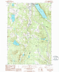
Editions of this 1923 Lake Memphremagog Map
This is the sole edition of this map. No revisions or reprints were ever made.
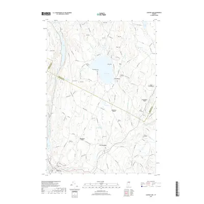
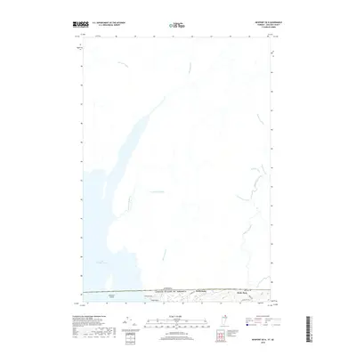
Historical Maps of Newport Through Time
98 maps found

1919 Lake Memphremagog
Orleans County, VT

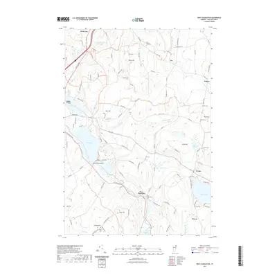
1920 Derby
Orleans County, VT

1920 Irasburg
Orleans County, VT

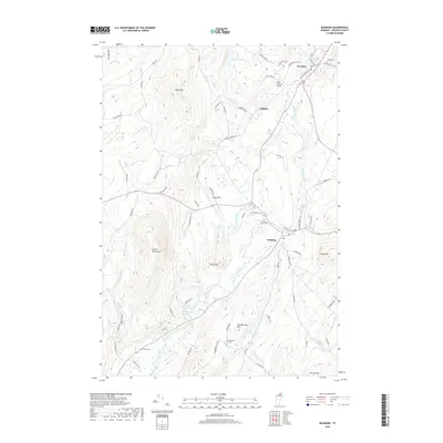
1923 Irasburg
Orleans County, VT
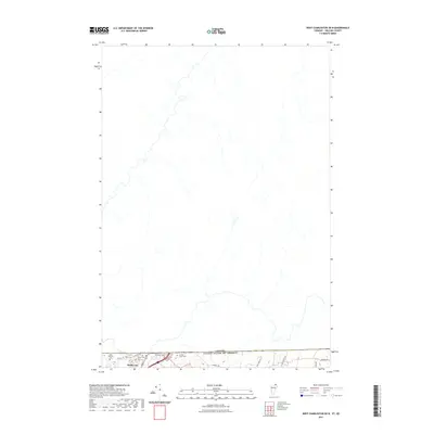
1923 Lake Memphremagog
Orleans County, VT

1925 Irasburg
Orleans County, VT

1925 Memphremagog
Orleans County, VT

1928 Hardwick
Orleans County, VT

1934 Hardwick
Orleans County, VT
1938 Hardwick
Orleans County, VT

1951 Hardwick
Orleans County, VT
1953 Irasburg
Orleans County, VT
1953 Memphremagog
Orleans County, VT

1978 Beebe Plain Station
Orleans County, VT

1978 Derby Line Port of Entry
Orleans County, VT

1978 East of North Troy Station
Orleans County, VT

1978 North Troy Station
Orleans County, VT

1978 West of Norton Port of Entry
Orleans County, VT

1986 Albany
Orleans County, VT
1986 Caspian Lake
Orleans County, VT
1986 Craftsbury
Orleans County, VT
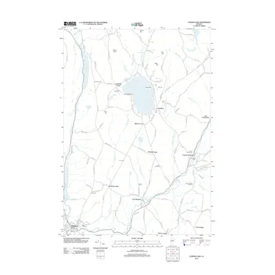
1986 Crystal Lake
Orleans County, VT

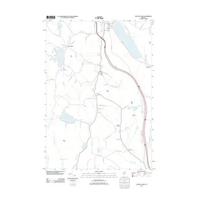
1986 Irasburg
Orleans County, VT

1986 Lowell
Orleans County, VT
1986 West Charleston
Orleans County, VT

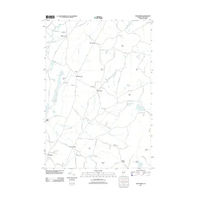
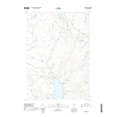
1986 Westmore
Orleans County, VT
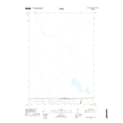
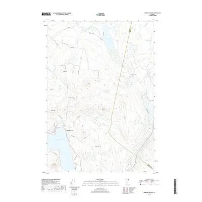
1989 Morgan Center
Orleans County, VT

1989 Mount Mansfield
Orleans County, VT
2012 Albany
Orleans County, VT
2012 Caspian Lake
Orleans County, VT
2012 Craftsbury
Orleans County, VT
2012 Crystal Lake
Orleans County, VT
2012 Irasburg
Orleans County, VT
2012 Lowell
Orleans County, VT
2012 Morgan Center OE N
Orleans County, VT
2012 Morgan Center
Orleans County, VT
2012 Newport Center OE N
Orleans County, VT
2012 Newport OE N
Orleans County, VT
2012 North Troy OE N
Orleans County, VT
2012 West Charleston OE N
Orleans County, VT
2012 West Charleston
Orleans County, VT
2012 Westmore
Orleans County, VT
2015 Albany
Orleans County, VT
2015 Caspian Lake
Orleans County, VT
2015 Craftsbury
Orleans County, VT
2015 Crystal Lake
Orleans County, VT
2015 Irasburg
Orleans County, VT
2015 Lowell
Orleans County, VT
2015 Morgan Center OE N
Orleans County, VT
2015 Morgan Center
Orleans County, VT
2015 Newport Center OE N
Orleans County, VT
2015 Newport OE N
Orleans County, VT
2015 North Troy OE N
Orleans County, VT
2015 West Charleston OE N
Orleans County, VT
2015 West Charleston
Orleans County, VT
2015 Westmore
Orleans County, VT
2018 Albany
Orleans County, VT
2018 Caspian Lake
Orleans County, VT
2018 Craftsbury
Orleans County, VT
2018 Crystal Lake
Orleans County, VT
2018 Irasburg
Orleans County, VT
2018 Lowell
Orleans County, VT
2018 Morgan Center OE N
Orleans County, VT
2018 Morgan Center
Orleans County, VT
2018 Newport Center OE N
Orleans County, VT
2018 Newport OE N
Orleans County, VT

2018 North Troy OE N
Orleans County, VT
2018 West Charleston OE N
Orleans County, VT
2018 West Charleston
Orleans County, VT
2018 Westmore
Orleans County, VT
2021 Albany
Orleans County, VT
2021 Caspian Lake
Orleans County, VT
2021 Craftsbury
Orleans County, VT
2021 Crystal Lake
Orleans County, VT
2021 Irasburg
Orleans County, VT
2021 Lowell
Orleans County, VT
2021 Morgan Center OE N
Orleans County, VT
2021 Morgan Center
Orleans County, VT
2021 Newport Center OE N
Orleans County, VT
2021 Newport OE N
Orleans County, VT
2021 North Troy OE N
Orleans County, VT
2021 West Charleston OE N
Orleans County, VT
2021 West Charleston
Orleans County, VT
2021 Westmore
Orleans County, VT

2024 Albany
Orleans County, VT

2024 Caspian Lake
Orleans County, VT

2024 Craftsbury
Orleans County, VT

2024 Crystal Lake
Orleans County, VT

2024 Irasburg
Orleans County, VT

2024 Lowell
Orleans County, VT

2024 Morgan Center OE N
Orleans County, VT

2024 Morgan Center
Orleans County, VT
2024 Newport Center OE N
Orleans County, VT

2024 Newport OE N
Orleans County, VT

2024 North Troy OE N
Orleans County, VT

2024 West Charleston OE N
Orleans County, VT

2024 West Charleston
Orleans County, VT

2024 Westmore
Orleans County, VT