
1944 Map of Gulf Breeze
USGS Topo · Published 1944About this map
Pensacola Bay and the Gulf of Mexico isolate the narrow finger of Santa Rosa Island, which is shown here during a period of heavy military and maritime activity. The War Department's influence is clear, from the U S Naval Reservation at the peninsula's tip to the western presence of Fort Pickens. This 1944 survey captures the coastal landscape before modern sprawl, highlighting localized landmarks such as the Pensacola Quarantine Station (Abandoned) and a riverside Casino near Pensacola Beach. Inland, the terrain is marked by shifting dunes and the Sabine Sand Hills, while the waters of Santa Rosa Sound separate the barrier island from the growing community of Gulf Breeze. Maritime navigation is meticulously recorded through numerous beacons and lights, including the Deer Point Light BN 1934, providing a detailed look at the harbor's defenses and navigational aids during the Second World War.
Find a feature on this map
42 named features on this map. Tap any name to fly to it.
Don’t see what you’re looking for? This feature index may not catch every label — zoom into the map to look around manually.
Map Details
Editions of this 1944 Gulf Breeze Map
This is the sole edition of this map. No revisions or reprints were ever made.
Other maps of this area

1921 · Pensacola
USGS Topo · 1:62,500

1921 · Fort Barrancas
USGS Topo · 1:62,500

1941 · Fort Barrancas
USGS Topo · 1:62,500

1941 · Pensacola
USGS Topo · 1:62,500

1942 · Pensacola
USGS Topo · 1:62,500

1943 · Fort Barrancas
USGS Topo · 1:62,500

1944 · West Pensacola
USGS Topo · 1:25,000
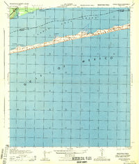
1944 · Oriole Beach
USGS Topo · 1:25,000
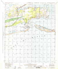
1944 · Fort Barrancas
USGS Topo · 1:25,000
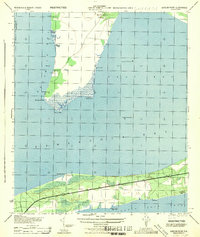
1944 · Garcon Point
USGS Topo · 1:25,000