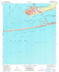
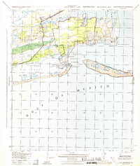
1969 Map of Gulf Breeze
USGS Topo · Published 1993About this map
Gulf Breeze occupies the strategic peninsula between Pensacola Bay and Santa Rosa Sound, serving as a gateway to the barrier islands during the mid-to-late 20th century. This 1969 survey, revised through the 1980s, documents the suburban expansion of the community, characterized by residential clusters around Woodland Park and the civic infrastructure of Gulf Breeze Sch. The landscape is defined by its maritime orientation, featuring numerous small inlets like Old Navy Cove and English Navy Cove that hint at the area's deep nautical history.
Find a feature on this map
38 named features on this map. Tap any name to fly to it.
Don’t see what you’re looking for? This feature index may not catch every label — zoom into the map to look around manually.
Map Details
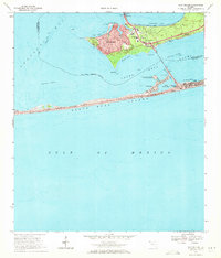
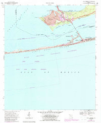
Editions of this 1969 Gulf Breeze Map
3 editions found
Other maps of this area

1921 · Pensacola
USGS Topo · 1:62,500

1921 · Fort Barrancas
USGS Topo · 1:62,500

1941 · Fort Barrancas
USGS Topo · 1:62,500

1941 · Pensacola
USGS Topo · 1:62,500

1942 · Pensacola
USGS Topo · 1:62,500

1943 · Fort Barrancas
USGS Topo · 1:62,500

1944 · West Pensacola
USGS Topo · 1:25,000
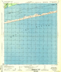
1944 · Oriole Beach
USGS Topo · 1:25,000

1944 · Gulf Breeze
USGS Topo · 1:25,000
1944 · Fort Barrancas
USGS Topo · 1:25,000