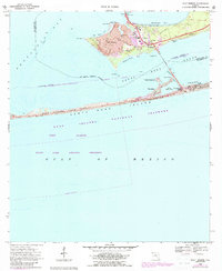
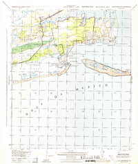
1969 Map of Gulf Breeze
USGS Topo · Published 1988About this map
Gulf Breeze occupies the narrow peninsula between Pensacola Bay and the Santa Rosa Sound, serving as a gateway to the barrier islands. This mid-century coastal landscape is shaped by recreational and federal presence, from the Boy Scout Camp and Girl Scout Camp near the Andrew Jackson Trail to the scientific installations at the U.S. Dept of the Interior Biological Laboratory. Residential growth is evident in developments like Villa Sabine and the neighborhood surrounding the Gulf Breeze School and local parishes like St. Francis Ch. To the south, the protected dunes of Santa Rosa Island host Fort Pickens State Park, where the Sabine Sand Hills meet the Gulf of Mexico. The map documents a period of transition as the area evolved from a naval-adjacent outpost into a primary residential and ecological preserve.
Find a feature on this map
38 named features on this map. Tap any name to fly to it.
Don’t see what you’re looking for? This feature index may not catch every label — zoom into the map to look around manually.
Map Details
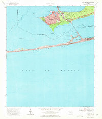
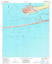
Editions of this 1969 Gulf Breeze Map
3 editions found
Other maps of this area

1921 · Pensacola
USGS Topo · 1:62,500

1921 · Fort Barrancas
USGS Topo · 1:62,500

1941 · Fort Barrancas
USGS Topo · 1:62,500

1941 · Pensacola
USGS Topo · 1:62,500

1942 · Pensacola
USGS Topo · 1:62,500

1943 · Fort Barrancas
USGS Topo · 1:62,500

1944 · West Pensacola
USGS Topo · 1:25,000
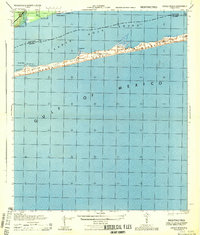
1944 · Oriole Beach
USGS Topo · 1:25,000

1944 · Gulf Breeze
USGS Topo · 1:25,000
1944 · Fort Barrancas
USGS Topo · 1:25,000