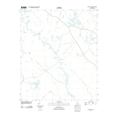
2011 Map of Gumm Pond
USGS Topo · Published 2011About this map
The Oconee River carves a winding path through this central Georgia landscape, defined by a complex network of wetlands and oxbow lakes. Numerous water bodies with distinctive names like Steel Trap Lake, High Bridge Lake, and Salt Log Lake line the river valley, indicating the flood-prone nature of the alluvial plain. The presence of the Harrison Mine near Bluff Creek points to local extractive industry, while the naming of Beech Ridge and Big Bend highlights the geographical features that shaped early navigation and land use. Local roads like Indian Trail Rd and Harmony Church Rd crisscross the rural terrain, connecting dispersed family-named locations such as Adams Pond and Lord Lake. This area reflects a quiet, rural economy tied closely to the river's hydrology and the surrounding forest land.
Find a feature on this map
38 named features on this map. Tap any name to fly to it.
Don’t see what you’re looking for? This feature index may not catch every label — zoom into the map to look around manually.
Map Details
Editions of this 2011 Gumm Pond Map
This is the sole edition of this map. No revisions or reprints were ever made.
Other maps of this area

1912 · Milledgeville
USGS Topo · 1:62,500

1916 · Irwinton
USGS Topo · 1:62,500

1920 · Irwinton
USGS Topo · 1:62,500

1953 · Athens
USGS Topo · 1:250,000

1957 · Macon
USGS Topo · 1:250,000

1958 · Macon
USGS Topo · 1:250,000

1958 · Athens
USGS Topo · 1:250,000

1959 · Athens
USGS Topo · 1:250,000

1961 · Deepstep
USGS Topo · 1:24,000

1962 · Oconee
USGS Topo · 1:24,000