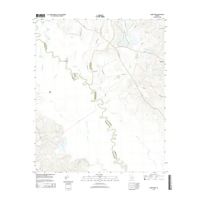
2014 Map of Gumm Pond
USGS Topo · Published 2014About this map
The Oconee River meanders through the heart of this landscape, forming a complex network of oxbows and secondary waterways at the triple-junction of Baldwin, Wilkinson, and Washington Counties. This fluvial environment is characterized by distinctive features like the Big Bend, Deep Slough, and the Dead River, illustrating the shifting nature of the river channel over time. On the higher ground of the eastern bank, the settlement of Hebron stands as a primary point of human habitation, connected by a network of rural routes such as Adams Rd and Ga-272.
Find a feature on this map
46 named features on this map. Tap any name to fly to it.
Don’t see what you’re looking for? This feature index may not catch every label — zoom into the map to look around manually.
Map Details
Editions of this 2014 Gumm Pond Map
This is the sole edition of this map. No revisions or reprints were ever made.
Other maps of this area

1912 · Milledgeville
USGS Topo · 1:62,500

1916 · Irwinton
USGS Topo · 1:62,500

1920 · Irwinton
USGS Topo · 1:62,500

1953 · Athens
USGS Topo · 1:250,000

1957 · Macon
USGS Topo · 1:250,000

1958 · Macon
USGS Topo · 1:250,000

1958 · Athens
USGS Topo · 1:250,000

1959 · Athens
USGS Topo · 1:250,000

1961 · Deepstep
USGS Topo · 1:24,000

1962 · Oconee
USGS Topo · 1:24,000