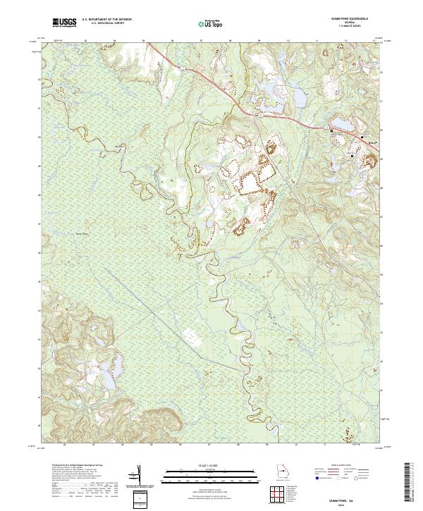
2024 Map of Gumm Pond
USGS Topo · Published 2024About this map
The Oconee River carves a complex course through this central Georgia landscape, defining the boundaries between Baldwin, Wilkinson, and Washington counties. The river's influence is evident in the dense network of wetlands and oxbow lakes such as Stob Lake, Bridge Lake, and Peachtree Lake. High-ground features like Beech Ridge rise above the river's floodplain, while the Big Bend and Deep Slough show the historical shifts of the watercourse over time.
Find a feature on this map
48 named features on this map. Tap any name to fly to it.
Don’t see what you’re looking for? This feature index may not catch every label — zoom into the map to look around manually.
Map Details
Editions of this 2024 Gumm Pond Map
This is the sole edition of this map. No revisions or reprints were ever made.
Other maps of this area

1912 · Milledgeville
USGS Topo · 1:62,500

1916 · Irwinton
USGS Topo · 1:62,500

1920 · Irwinton
USGS Topo · 1:62,500

1953 · Athens
USGS Topo · 1:250,000

1957 · Macon
USGS Topo · 1:250,000

1958 · Macon
USGS Topo · 1:250,000

1958 · Athens
USGS Topo · 1:250,000

1959 · Athens
USGS Topo · 1:250,000

1961 · Deepstep
USGS Topo · 1:24,000

1962 · Oconee
USGS Topo · 1:24,000