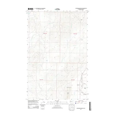
2014 Map of Gunderson Mountain
USGS Topo · Published 2014About this map
Shuwah and the surrounding timberlands of the Olympic Mountains define this corner of the Olympic Peninsula. The landscape is dominated by the intricate drainage systems of the Middle Fork Dickey River and E Fork Dickey River, which carve through the dense terrain between Gunderson Mtn and Nelson Hill. These watercourses, along with Sands Cr and Skunk Cr, emphasize the region's historical reliance on river networks for resource management and transport.
Find a feature on this map
27 named features on this map. Tap any name to fly to it.
Don’t see what you’re looking for? This feature index may not catch every label — zoom into the map to look around manually.
Map Details
Editions of this 2014 Gunderson Mountain Map
This is the sole edition of this map. No revisions or reprints were ever made.
Other maps of this area
1935 · Ozette Lake
USGS Topo · 1:62,500
1935 · Lake Pleasant
USGS Topo · 1:62,500
1939 · Forks
USGS Topo · 1:62,500
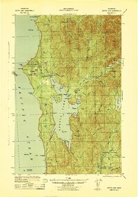
1942 · Ozette Lake
USGS Topo · 1:62,500
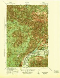
1942 · Lake Pleasant
USGS Topo · 1:62,500
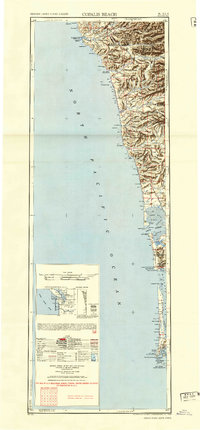
1943 · Copalis Beach
USGS Topo · 1:250,000
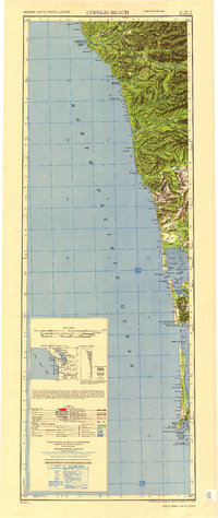
1951 · Copalis Beach
USGS Topo · 1:250,000
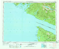
1953 · Cape Flattery
USGS Topo · 1:250,000
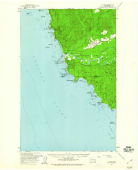
1956 · La Push
USGS Topo · 1:62,500
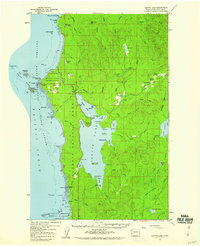
1956 · Ozette Lake
USGS Topo · 1:62,500