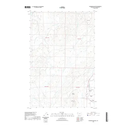
2020 Map of Gunderson Mountain
USGS Topo · Published 2020About this map
Gunderson Mtn and the eastern foothills of the Olympic Mountains dominate this area of Clallam County, where the hydrological network of the Middle Fork Dickey River and E Fork Dickey River converges. The landscape transitions from the high ridges of Nelson Hill down into the productive flats of Maxfield Prairie and the Sol Duc Valley. At the settlement of Shuwah, a concentrated grid of local roads like Steelhead Ave and Trout Ave suggests a community oriented toward the nearby Sol Duc River. This 2020 survey illustrates the balance between the wild river corridors, such as Gunderson Cr and Thunder Cr, and the rural development clustered along the eastern edge of the quadrangle.
Find a feature on this map
27 named features on this map. Tap any name to fly to it.
Don’t see what you’re looking for? This feature index may not catch every label — zoom into the map to look around manually.
Map Details
Editions of this 2020 Gunderson Mountain Map
This is the sole edition of this map. No revisions or reprints were ever made.
Other maps of this area

1935 · Ozette Lake
USGS Topo · 1:62,500

1935 · Lake Pleasant
USGS Topo · 1:62,500

1939 · Forks
USGS Topo · 1:62,500

1942 · Ozette Lake
USGS Topo · 1:62,500

1942 · Lake Pleasant
USGS Topo · 1:62,500

1943 · Copalis Beach
USGS Topo · 1:250,000

1951 · Copalis Beach
USGS Topo · 1:250,000

1953 · Cape Flattery
USGS Topo · 1:250,000

1956 · La Push
USGS Topo · 1:62,500

1956 · Ozette Lake
USGS Topo · 1:62,500