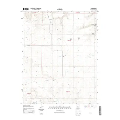
2013 Map of Guy
USGS Topo · Published 2013About this map
Guy sits at the intersection of Lake Rd and several county routes in this high-plains landscape of Union County. The terrain is defined by a series of dramatic drainages and landforms, including the prominent Miller Gap and the erosional features of Devils Wash Basin. Genealogy and local history researchers will find the locations of the Rivera Cem and Padilla Cem significant, as they are situated near the winding courses of Corrumpa Cr and Turkey Canyon. The map reveals a network of canyons such as Hardesty Canyon and Dickerson Canyon that cut through the landscape, illustrating the topographic character of this ranching region before modern developments altered many rural road networks.
Find a feature on this map
27 named features on this map. Tap any name to fly to it.
Don’t see what you’re looking for? This feature index may not catch every label — zoom into the map to look around manually.
Map Details
Editions of this 2013 Guy Map
This is the sole edition of this map. No revisions or reprints were ever made.
Other maps of this area
1954 · Dalhart
USGS Topo · 1:250,000
1958 · Dalhart
USGS Topo · 1:250,000
1962 · Dalhart
USGS Topo · 1:250,000
1972 · Mc Laughlin Bridge
USGS Topo · 1:24,000
1972 · Travesser Park
USGS Topo · 1:24,000
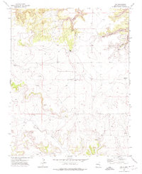
1972 · Guy
USGS Topo · 1:24,000
1972 · Cuates School
USGS Topo · 1:24,000
1972 · Fiddler Springs
USGS Topo · 1:24,000
1972 · Tub Spring
USGS Topo · 1:24,000
1972 · Cobert Mesa South
USGS Topo · 1:24,000