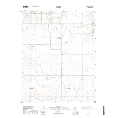
2020 Map of Guy
USGS Topo · Published 2020About this map
Guy sits at the intersection of Lake Rd and several local routes, serving as a focal point for the surrounding cattle country and high plains of Union County. The landscape is defined by its drainages and springs, with Carrizozo Cr cutting through the center and Corrumpa Cr tracing the southern reaches. These water sources have long dictated the placement of homesteads and infrastructure in this arid region, evidenced by the scattered landmarks like Fischer Spring and Carpenter Springs.
Find a feature on this map
29 named features on this map. Tap any name to fly to it.
Don’t see what you’re looking for? This feature index may not catch every label — zoom into the map to look around manually.
Map Details
Editions of this 2020 Guy Map
This is the sole edition of this map. No revisions or reprints were ever made.
Other maps of this area
1954 · Dalhart
USGS Topo · 1:250,000
1958 · Dalhart
USGS Topo · 1:250,000
1962 · Dalhart
USGS Topo · 1:250,000
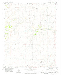
1972 · Mc Laughlin Bridge
USGS Topo · 1:24,000
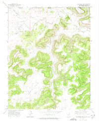
1972 · Travesser Park
USGS Topo · 1:24,000
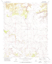
1972 · Guy
USGS Topo · 1:24,000
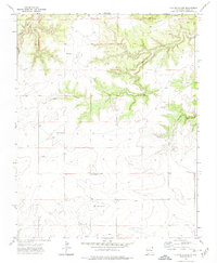
1972 · Cuates School
USGS Topo · 1:24,000
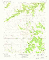
1972 · Fiddler Springs
USGS Topo · 1:24,000
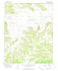
1972 · Tub Spring
USGS Topo · 1:24,000
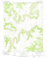
1972 · Cobert Mesa South
USGS Topo · 1:24,000