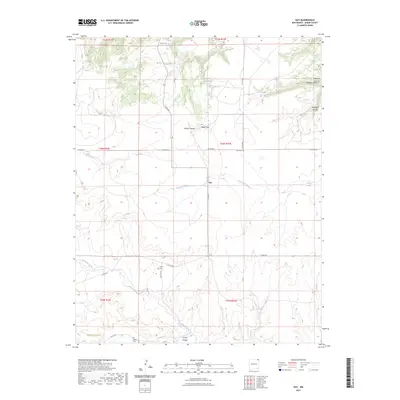
2023 Map of Guy
USGS Topo · Published 2023About this map
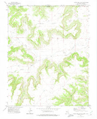
The settlement of Guy serves as a central point in this rural landscape of northeastern New Mexico, where the plains are deeply incised by a network of dry washes and canyons. The terrain is defined by dramatic elevation changes, notably at Miller Gap and through several named drainages including Peacock Canyon, Hardesty Canyon, and Turkey Canyon. Permanent water sources such as Fischer Spring and Carpenter Springs provide vital points of reference in this arid environment. Genealogy researchers will find significant value in the documentation of local burial sites, specifically Rivera Cem and Padilla Cem, which are situated near the seasonal flows of Carrizozo Creek and Corrumpa Creek. The map detail captures a sophisticated local road network, including Lake Rd and Pacheco Rd, that connects isolated ranching and homesteading tracts across this portion of Union County.
Find a feature on this map
29 named features on this map. Tap any name to fly to it.
Don’t see what you’re looking for? This feature index may not catch every label — zoom into the map to look around manually.
Map Details
Editions of this 2023 Guy Map
This is the sole edition of this map. No revisions or reprints were ever made.
Other maps of this area

1954 · Dalhart
USGS Topo · 1:250,000

1958 · Dalhart
USGS Topo · 1:250,000

1962 · Dalhart
USGS Topo · 1:250,000

1972 · Mc Laughlin Bridge
USGS Topo · 1:24,000

1972 · Travesser Park
USGS Topo · 1:24,000
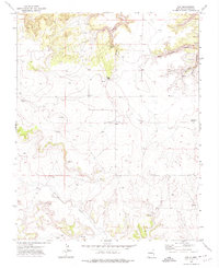
1972 · Guy
USGS Topo · 1:24,000

1972 · Cuates School
USGS Topo · 1:24,000
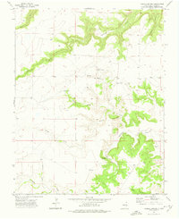
1972 · Fiddler Springs
USGS Topo · 1:24,000
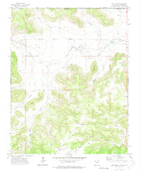
1972 · Tub Spring
USGS Topo · 1:24,000
1972 · Cobert Mesa South
USGS Topo · 1:24,000