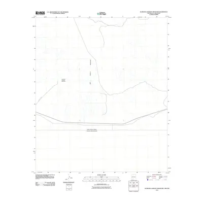
2010 Map of Guzmans Lookout Mountain
USGS Topo · Published 2010About this map
The United States of America and Estados Unidos Mexicanos international border defines the southern landscape of this Chihuahuan Desert region. Rising above the desert floor, Guzmans Lookout Mountain serves as a prominent geographic landmark within the larger West Potrillo Mountains range. The map illustrates a remote environment where human infrastructure is largely limited to the boundary line and County Rd A002, which cuts through the western portion of the quadrangle. This 2010 survey emphasizes the stark topography and drainage patterns characteristic of the borderlands, providing a clear record of the intersection between political boundaries and the natural terrain of the Southwest.
Find a feature on this map
4 named features on this map. Tap any name to fly to it.
Don’t see what you’re looking for? This feature index may not catch every label — zoom into the map to look around manually.
Map Details
Editions of this 2010 Guzmans Lookout Mountain Map
This is the sole edition of this map. No revisions or reprints were ever made.
Other maps of this area

1917 · Camel Mountain
USGS Topo · 1:62,500

1917 · Mt. Riley
USGS Topo · 1:62,500

1918 · Mt. Riley
USGS Topo · 1:62,500

1929 · Mt. Riley
USGS Topo · 1:62,500

1951 · Mt. Riley
USGS Topo · 1:62,500

1953 · El Paso
USGS Topo · 1:250,000

1959 · El Paso
USGS Topo · 1:250,000

1964 · El Paso
USGS Topo · 1:250,000

1965 · El Paso
USGS Topo · 1:250,000
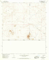
1965 · Camel Mountain
USGS Topo · 1:24,000