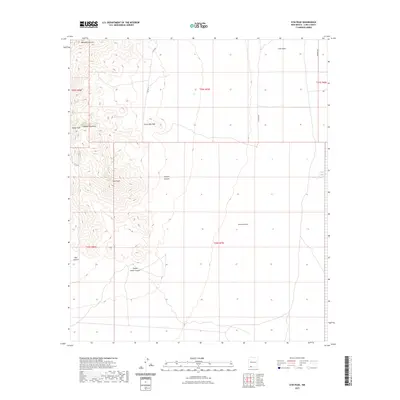
2023 Map of Gym Peak
USGS Topo · Published 2023About this map
The Florida Mountains dominate the western portion of this landscape, rising to prominent points such as Baldy Peak and Gym Peak. This arid Basin and Range terrain is defined by deep drainage systems including Victorio Canyon, Windmill Canyon, and the rugged Box Canyon in the southwest corner. The high-altitude topography transitions into the alluvial basins of Victorio Draw and Lobo Draw to the east, illustrating the complex hydrology of the Chihuahuan Desert.
Find a feature on this map
21 named features on this map. Tap any name to fly to it.
Don’t see what you’re looking for? This feature index may not catch every label — zoom into the map to look around manually.
Map Details
Editions of this 2023 Gym Peak Map
This is the sole edition of this map. No revisions or reprints were ever made.
Other maps of this area

1899 · Deming
USGS Topo · 1:125,000

1915 · Deming
USGS Topo · 1:125,000

1917 · Camel Mountain
USGS Topo · 1:62,500

1917 · Columbus
USGS Topo · 1:62,500

1918 · Columbus
USGS Topo · 1:62,500

1920 · Columbus
USGS Topo · 1:62,500

1953 · El Paso
USGS Topo · 1:250,000

1955 · Las Cruces
USGS Topo · 1:250,000

1958 · Las Cruces
USGS Topo · 1:250,000

1959 · El Paso
USGS Topo · 1:250,000