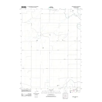
2012 Map of Habig Spring
USGS Topo · Published 2012About this map
Habig Spring and Sandercock Spring are central water sources in this Goshen County landscape, where the high plains meet the intricate drainage systems of the N Platte River valley. The terrain is defined by distinct geologic formations including the Twin Buttes, South Rim, and the prominent Whitehorse Butte to the south. This 2012 survey illustrates a sparse ranching and agricultural network connected by a grid of rural roads like Duncan Hill Rd and Teeters Rd. The northeastern corner is influenced by the river corridor and the seasonal runoff through Peterson Draw, while the Veteran Hwy provides the primary north-south transit corridor across the eastern flats. These landforms, such as Chalk Hill and Sheep Wash, reflect the erosional character of the Wyoming high desert.
Find a feature on this map
31 named features on this map. Tap any name to fly to it.
Don’t see what you’re looking for? This feature index may not catch every label — zoom into the map to look around manually.
Map Details
Editions of this 2012 Habig Spring Map
This is the sole edition of this map. No revisions or reprints were ever made.
Other maps of this area

1896 · Patrick
USGS Topo · 1:125,000

1896 · Hartville
USGS Topo · 1:125,000

1899 · Goshen Hole
USGS Topo · 1:125,000

1901 · Hartville
USGS Topo · 1:125,000

1950 · Rockeagle
USGS Topo · 1:24,000

1950 · Fort Laramie
USGS Topo · 1:24,000

1952 · Fort Laramie
USGS Topo · 1:24,000

1954 · Torrington
USGS Topo · 1:250,000

1954 · Cheyenne
USGS Topo · 1:250,000

1958 · Cheyenne
USGS Topo · 1:250,000