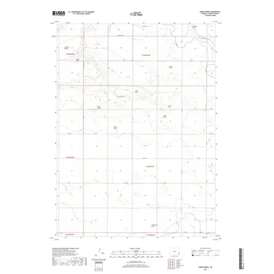
2018 Map of Habig Spring
USGS Topo · Published 2018About this map
Habig Spring and Sandercock Spring serve as critical water points in this arid stretch of Goshen County, where the high plains transition between dramatic local landmarks. The landscape is defined by distinct topographical rises such as Whitehorse Butte to the south and the Twin Buttes near the center of the sheet. A network of rural roads, including Duncan Hill Rd and Rd 76, connects these features across the township lines of the Public Land Survey System.
Find a feature on this map
39 named features on this map. Tap any name to fly to it.
Don’t see what you’re looking for? This feature index may not catch every label — zoom into the map to look around manually.
Map Details
Editions of this 2018 Habig Spring Map
This is the sole edition of this map. No revisions or reprints were ever made.
Other maps of this area

1896 · Patrick
USGS Topo · 1:125,000

1896 · Hartville
USGS Topo · 1:125,000

1899 · Goshen Hole
USGS Topo · 1:125,000

1901 · Hartville
USGS Topo · 1:125,000

1950 · Rockeagle
USGS Topo · 1:24,000

1950 · Fort Laramie
USGS Topo · 1:24,000

1952 · Fort Laramie
USGS Topo · 1:24,000

1954 · Torrington
USGS Topo · 1:250,000

1954 · Cheyenne
USGS Topo · 1:250,000

1958 · Cheyenne
USGS Topo · 1:250,000