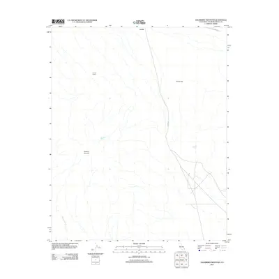
2012 Map of Hackberry Mountain
USGS Topo · Published 2012About this map
Lanfair sits at the northern edge of this high-desert landscape, where the historical Old Government Rd and Lanfair Rd cut through the arid terrain of San Bernardino County. The region is defined by prominent topographical features including the volcanic-formed Hackberry Mountain and the Bobcat Hills. Vital water sources such as Hackberry Spring and Vontrigger Spring punctuate the dry washes, including the significant Watson Wash that trends toward the southwest. This era of the Mojave Desert shows a sparse but established human footprint, centered on the remote Conner Airport. The presence of these historical roads and isolated springs indicates a long-standing reliance on specific corridors for transit and survival in an environment dominated by elevation changes and seasonal drainage patterns.
Find a feature on this map
9 named features on this map. Tap any name to fly to it.
Don’t see what you’re looking for? This feature index may not catch every label — zoom into the map to look around manually.
Map Details
Editions of this 2012 Hackberry Mountain Map
This is the sole edition of this map. No revisions or reprints were ever made.
Other maps of this area

1910 · Ivanpah
USGS Topo · 1:250,000

1912 · Ivanpah
USGS Topo · 1:250,000

1942 · Ivanpah
USGS Topo · 1:250,000

1942 · Amboy
USGS Topo · 1:250,000

1943 · Amboy
USGS Topo · 1:250,000

1943 · Fenner
USGS Topo · 1:62,500

1947 · Kingman
USGS Topo · 1:250,000

1948 · Kingman
USGS Topo · 1:250,000

1954 · Needles
USGS Topo · 1:250,000

1954 · Kingman
USGS Topo · 1:250,000