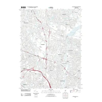
2011 Map of Hackensack
USGS Topo · Published 2011About this map
The Hackensack and Passaic River corridors anchor this densely developed landscape of Bergen County at the start of the 2010s. Modern infrastructure like the Garden State Pkwy and the New York Susquehanna and Western RR bisect established communities from Ridgewood to Lodi. This survey documents a complex network of suburban growth interspersed with significant open spaces, including the Oradell Reservoir and its associated Oradell Reservoir Dam. For the local researcher, the map preserves the locations of numerous historic interments and memorial sites such as the French Burial Ground, Valleau Cemetery, and Lodi Burial Grounds. Educational and community hubs are clearly marked, from the campus of Fairleigh Dickinson University to various neighborhood post offices and local parks like George Washington Memorial Park.
Find a feature on this map
73 named features on this map. Tap any name to fly to it.
Don’t see what you’re looking for? This feature index may not catch every label — zoom into the map to look around manually.
Map Details
Editions of this 2011 Hackensack Map
This is the sole edition of this map. No revisions or reprints were ever made.
Other maps of this area

1888 · Paterson
USGS Topo · 1:62,500

1891 · Ramapo
USGS Topo · 1:62,500

1891 · Harlem
USGS Topo · 1:62,500

1892 · Paterson
USGS Topo · 1:62,500

1892 · Tarrytown
USGS Topo · 1:62,500

1893 · Tarrytown
USGS Topo · 1:62,500

1893 · Ramapo
USGS Topo · 1:62,500

1897 · Harlem
USGS Topo · 1:62,500

1898 · Harlem
USGS Topo · 1:62,500

1898 · Paterson
USGS Topo · 1:62,500