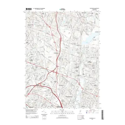
2014 Map of Hackensack
USGS Topo · Published 2014About this map
The Hackensack River flows through this heavily developed corridor of northern New Jersey, serving as a primary geographic anchor for numerous communities including River Edge, New Milford, and Bogota. The landscape is a complex network of transit and industry, defined by the major junction at Passaic Junction and the path of the New York Susquehanna and Western RR. Significant institutional footprints are visible, from the Bergen Community College campus near Paramus to the Fairleigh Dickinson University-Metropolitan Campus straddling the river.
Find a feature on this map
105 named features on this map. Tap any name to fly to it.
Don’t see what you’re looking for? This feature index may not catch every label — zoom into the map to look around manually.
Map Details
Editions of this 2014 Hackensack Map
This is the sole edition of this map. No revisions or reprints were ever made.
Other maps of this area

1888 · Paterson
USGS Topo · 1:62,500

1891 · Ramapo
USGS Topo · 1:62,500

1891 · Harlem
USGS Topo · 1:62,500

1892 · Paterson
USGS Topo · 1:62,500

1892 · Tarrytown
USGS Topo · 1:62,500

1893 · Tarrytown
USGS Topo · 1:62,500

1893 · Ramapo
USGS Topo · 1:62,500

1897 · Harlem
USGS Topo · 1:62,500

1898 · Harlem
USGS Topo · 1:62,500

1898 · Paterson
USGS Topo · 1:62,500