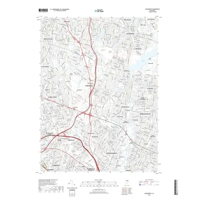
2019 Map of Hackensack
USGS Topo · Published 2019About this map
The Hackensack River and Saddle River corridors anchor this densely developed landscape in northern New Jersey. The map reveals the intricate suburban structure of Bergen County, from the transit-oriented design of Radburn to the sprawling academic grounds of Bergen Community College and Fairleigh Dickinson University Metropolitan Campus. Water management is a defining feature, dominated by the Oradell Reservoir and its surrounding wetlands, while numerous local waterways like Hohokus Brook and Musquapsink Brook wind through established neighborhoods.
Find a feature on this map
83 named features on this map. Tap any name to fly to it.
Don’t see what you’re looking for? This feature index may not catch every label — zoom into the map to look around manually.
Map Details
Editions of this 2019 Hackensack Map
This is the sole edition of this map. No revisions or reprints were ever made.
Other maps of this area

1888 · Paterson
USGS Topo · 1:62,500

1891 · Ramapo
USGS Topo · 1:62,500

1891 · Harlem
USGS Topo · 1:62,500

1892 · Paterson
USGS Topo · 1:62,500

1892 · Tarrytown
USGS Topo · 1:62,500

1893 · Tarrytown
USGS Topo · 1:62,500

1893 · Ramapo
USGS Topo · 1:62,500

1897 · Harlem
USGS Topo · 1:62,500

1898 · Harlem
USGS Topo · 1:62,500

1898 · Paterson
USGS Topo · 1:62,500