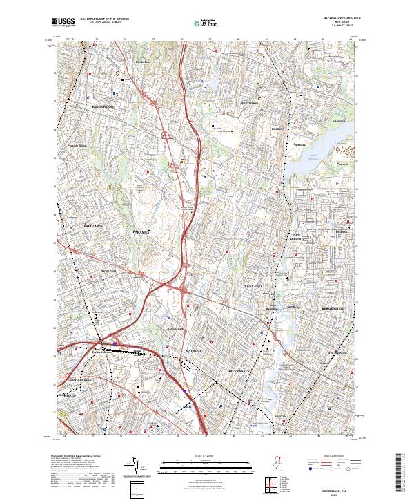
2023 Map of Hackensack
USGS Topo · Published 2023About this map
Hackensack and its surrounding Bergen County suburbs are defined by a dense network of residential streets and historic burying grounds in this contemporary look at northern New Jersey. The landscape is heavily influenced by the Hackensack River and Saddle River, which channel development through numerous boroughs like Paramus, Maywood, and River Edge. Genealogists will find a concentration of significant sites including the Hackensack Cem, the French Huguenot Demarest Cem, and the Lodi Burial Grounds.
Find a feature on this map
70 named features on this map. Tap any name to fly to it.
Don’t see what you’re looking for? This feature index may not catch every label — zoom into the map to look around manually.
Map Details
Editions of this 2023 Hackensack Map
This is the sole edition of this map. No revisions or reprints were ever made.
Other maps of this area

1888 · Paterson
USGS Topo · 1:62,500

1891 · Ramapo
USGS Topo · 1:62,500

1891 · Harlem
USGS Topo · 1:62,500

1892 · Paterson
USGS Topo · 1:62,500

1892 · Tarrytown
USGS Topo · 1:62,500

1893 · Tarrytown
USGS Topo · 1:62,500

1893 · Ramapo
USGS Topo · 1:62,500

1897 · Harlem
USGS Topo · 1:62,500

1898 · Harlem
USGS Topo · 1:62,500

1898 · Paterson
USGS Topo · 1:62,500