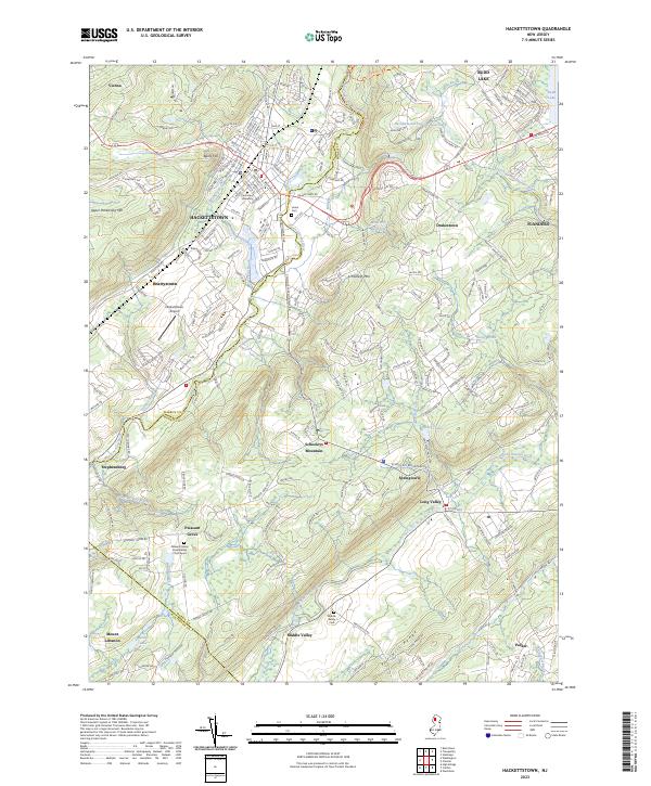
2023 Map of Hackettstown
USGS Topo · Published 2023About this map
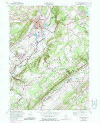
The Musconetcong River and South Branch Raritan River flow through this section of the New Jersey highlands, where the hub of Hackettstown serves as a focal point for the region's geography. Centered around Centenary University and the residential neighborhoods of Bucks Hill, the landscape transitions from the urbanized center to the prominent ridges of Upper Pohatcong Mtn and Schooleys Mtn. This geography historically dictated settlement patterns, with smaller communities like Beattystown and Stephensburg tucked into the river valleys.
Find a feature on this map
47 named features on this map. Tap any name to fly to it.
Don’t see what you’re looking for? This feature index may not catch every label — zoom into the map to look around manually.
Map Details
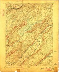
Editions of this 2023 Hackettstown Map
This is the sole edition of this map. No revisions or reprints were ever made.
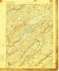
Historical Maps of Independence Township Through Time
7 maps found


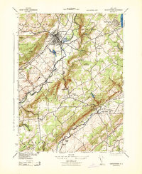
Featured Locations
- Lebanon Township, NJ
- Washington Township, NJ
- Mount Olive, NJ
- Hackettstown, NJ
- Long Valley, Washington Township