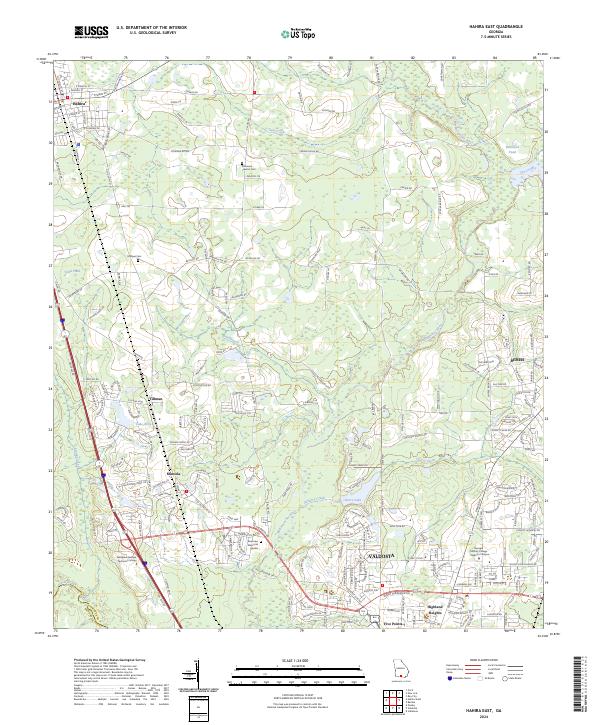
2024 Map of Hahira East
USGS Topo · Published 2024About this map
The Withlacoochee River and Cat Creek drain this landscape north of Valdosta, where the city's northward expansion meets the rural character of northern Lowndes County. This survey captures the developing corridor between the city and Hahira, documented during a period of significant growth in the 2020s. Established communities like Mineola, Tillman, and Bemiss are clearly delineated alongside modern educational landmarks such as Wiregrass Georgia Technical College and the Georgia Military College - Valdosta Campus. Genealogists will find particular value in the documentation of local burial sites, including Hodges Cem and the Passmore - Lawson Cem. The map further details the area's hydrology, from the Little River to smaller water bodies like Cherry Lake and Lake Neva, illustrating the varied terrain that has shaped local settlement patterns for generations.
Find a feature on this map
205 named features on this map. Tap any name to fly to it.
Don’t see what you’re looking for? This feature index may not catch every label — zoom into the map to look around manually.
Map Details
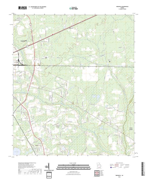
Editions of this 2024 Hahira East Map
This is the sole edition of this map. No revisions or reprints were ever made.
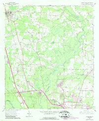
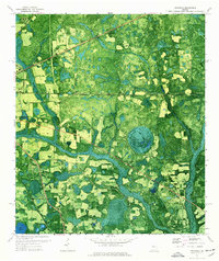
Historical Maps of South Ree Springs Through Time
4 maps found