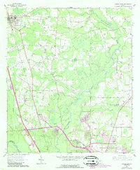
1961 Map of Hahira East
USGS Topo · Published 1988About this map
The Withlacoochee River and Cat Creek define the eastern drainage of this Lowndes County landscape, where agriculture meets the expanding northern reaches of Valdosta. The map reveals a transition from traditional rural life—evidenced by local landmarks like Passmore Cem, Bethany Ch, and Mt Airy Ch—to mid-century suburban and commercial growth. Transportation corridors such as the Georgia Southern and Florida railroad and the Interstate 75 corridor through Mineola and Tillman highlight the shift toward modern transit. Near Five Points, the landscape becomes more developed, featuring the Valdosta Country Club and a Drive-in Theater. Further north, the town of Hahira stands as a focal point for the region's rural community, while numerous unnamed trailer parks and substations reflect the infrastructure required for the area's late 20th-century population growth.
Find a feature on this map
38 named features on this map. Tap any name to fly to it.
Don’t see what you’re looking for? This feature index may not catch every label — zoom into the map to look around manually.
Map Details
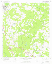
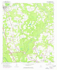
Editions of this 1961 Hahira East Map
4 editions found
Other maps of this area

1953 · Waycross
USGS Topo · 1:250,000

1954 · Valdosta
USGS Topo · 1:250,000

1958 · Valdosta
USGS Topo · 1:250,000

1958 · Waycross
USGS Topo · 1:250,000

1959 · Valdosta
USGS Topo · 1:250,000

1961 · Hahira East
USGS Topo · 1:24,000

1961 · Valdosta
USGS Topo · 1:24,000

1961 · Hahira West
USGS Topo · 1:24,000

1961 · Ousley
USGS Topo · 1:24,000

1971 · Indianola
USGS Topo · 1:24,000