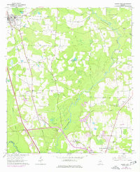
1961 Map of Hahira East
USGS Topo · Published 1977About this map
The Southern railroad line serves as a central spine for this South Georgia landscape, connecting the town of Hahira in the north to the settlement of Mineola and the modern Mineola Interchange further south. The Withlacoochee River meanders through the central and eastern portions of the map, fed by tributaries like Twin Creek, Bay Branch, and Cherry Creek. This survey captures a mix of rural agrarian foundations and mid-century suburban expansion, particularly around Highland Heights and the northern outskirts of Valdosta near Five Points.
Find a feature on this map
36 named features on this map. Tap any name to fly to it.
Don’t see what you’re looking for? This feature index may not catch every label — zoom into the map to look around manually.
Map Details
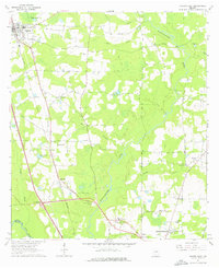
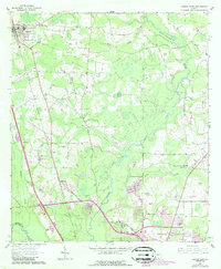
Editions of this 1961 Hahira East Map
4 editions found
Other maps of this area

1953 · Waycross
USGS Topo · 1:250,000

1954 · Valdosta
USGS Topo · 1:250,000

1958 · Valdosta
USGS Topo · 1:250,000

1958 · Waycross
USGS Topo · 1:250,000

1959 · Valdosta
USGS Topo · 1:250,000

1961 · Hahira East
USGS Topo · 1:24,000

1961 · Valdosta
USGS Topo · 1:24,000

1961 · Hahira West
USGS Topo · 1:24,000

1961 · Ousley
USGS Topo · 1:24,000

1971 · Indianola
USGS Topo · 1:24,000