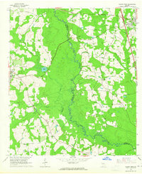
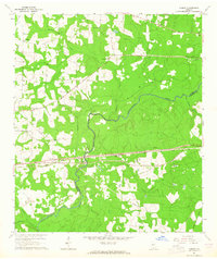
1961 Map of Hahira West
USGS Topo · Published 1965About this map
The Little River carves a winding, forested path along the boundary between Brooks and Lowndes counties, serving as the central geographic feature of this South Georgia landscape. In the early 1960s, the rural character of the region is defined by a dense network of country churches and family-named landmarks. The Old Coffee Road cuts through the northwest, tracing a historic travel route that predates modern infrastructure. To the west, Morven sits at a crossroads of local commerce, while Hahira occupies the northeast corner, served by the Southern Ry and situated near the Webb-Miller Sch. The map reveals a deeply rooted community structure, evidenced by numerous small cemeteries and congregations such as Mt Zion Ch, Second Elizabeth Ch, and Miller Cem. Land use is a mix of agricultural clearings and swampy lowlands around Slaughter Creek and Jones Creek.
Find a feature on this map
30 named features on this map. Tap any name to fly to it.
Don’t see what you’re looking for? This feature index may not catch every label — zoom into the map to look around manually.
Map Details
Editions of this 1961 Hahira West Map
2 editions found
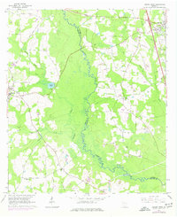
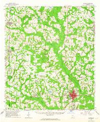
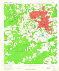
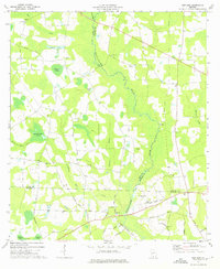
Other maps of this area

1953 · Waycross
USGS Topo · 1:250,000

1954 · Valdosta
USGS Topo · 1:250,000

1958 · Valdosta
USGS Topo · 1:250,000

1958 · Waycross
USGS Topo · 1:250,000

1959 · Valdosta
USGS Topo · 1:250,000

1961 · Hahira East
USGS Topo · 1:24,000
1961 · Quitman
USGS Topo · 1:62,500
1961 · Valdosta
USGS Topo · 1:24,000
1961 · Ousley
USGS Topo · 1:24,000
1973 · New Lois
USGS Topo · 1:24,000