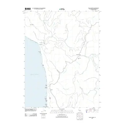
2012 Map of Hales Grove
USGS Topo · Published 2012About this map
The Pacific Ocean coastline of Mendocino County meets a complex system of ridges and canyons in this 2012 survey. The settlement of Usal serves as a focal point near the coast, adjacent to the Usal Campground and the mouth of Usal Creek. Moving inland, the topography is defined by significant elevations like Timber Ridge and watercourses such as Hollow Tree Creek and the Middle Fork Cottaneva Creek.
Find a feature on this map
39 named features on this map. Tap any name to fly to it.
Don’t see what you’re looking for? This feature index may not catch every label — zoom into the map to look around manually.
Map Details
Editions of this 2012 Hales Grove Map
This is the sole edition of this map. No revisions or reprints were ever made.
Other maps of this area

1920 · Cummings
USGS Topo · 1:62,500

1921 · Westport
USGS Topo · 1:62,500

1921 · Branscomb
USGS Topo · 1:62,500

1950 · Piercy
USGS Topo · 1:62,500

1950 · Cape Vizcaino
USGS Topo · 1:62,500

1951 · Cape Vizcaino
USGS Topo · 1:62,500

1951 · Branscomb
USGS Topo · 1:62,500

1952 · Leggett
USGS Topo · 1:62,500

1957 · Ukiah
USGS Topo · 1:250,000

1960 · Ukiah
USGS Topo · 1:250,000