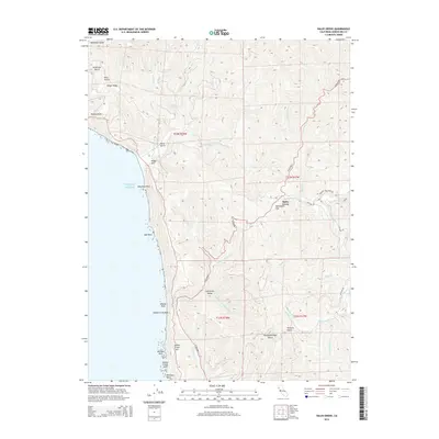
2015 Map of Hales Grove
USGS Topo · Published 2015About this map
N Highway 1 snakes along the jagged coastline and through the heavily wooded interior of the Mendocino coast, connecting isolated settlements like Hales Grove and Cottaneva Valley. The terrain is defined by deep drainages and ridges, where Timber Ridge and Timber Point overlook a complex network of waterways including Usal Cr and the various forks of Cottaneva Cr. Along the Pacific shore, sea stacks and landmarks such as Usal Rock, Middle Rock, and Sea Lion Rock sit just off the coast near Shady Dell. The interior landscape reveals local history through place names like Dutchmans Flat, Slaughterhouse Gulch, and Soldier Frank Hill, suggesting the region's historical reliance on ranching and logging within the steep coastal canyons.
Find a feature on this map
46 named features on this map. Tap any name to fly to it.
Don’t see what you’re looking for? This feature index may not catch every label — zoom into the map to look around manually.
Map Details
Editions of this 2015 Hales Grove Map
This is the sole edition of this map. No revisions or reprints were ever made.
Other maps of this area

1920 · Cummings
USGS Topo · 1:62,500

1921 · Westport
USGS Topo · 1:62,500

1921 · Branscomb
USGS Topo · 1:62,500

1950 · Piercy
USGS Topo · 1:62,500

1950 · Cape Vizcaino
USGS Topo · 1:62,500

1951 · Cape Vizcaino
USGS Topo · 1:62,500

1951 · Branscomb
USGS Topo · 1:62,500

1952 · Leggett
USGS Topo · 1:62,500

1957 · Ukiah
USGS Topo · 1:250,000

1960 · Ukiah
USGS Topo · 1:250,000