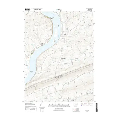
2016 Map of Halifax
USGS Topo · Published 2016About this map
Halifax stands as a central riverfront settlement along the eastern banks of the Susquehanna River, where it is joined by the waters of Armstrong Creek. This survey captures the corridor’s complex river geography, defined by a chain of large islands including Clemson Island, Bressler Island, and Haldeman Island. To the south, the dramatic ridge of Peters Mtn cuts across the landscape, carrying a significant portion of the Appalachian National Scenic Trail through the region. Industrial and transportation history is evident in the presence of Victoria Furnace and the landing at Montgomery Ferry further north. The map also documents smaller rural communities like New Buffalo and Fisherville, alongside local landmarks such as Zion Cem and the Tallman West Airport. The concentration of settlements along the river contrast with the steep, forested elevations of Third Mtn and Second Mountain, illustrating the enduring influence of the river valley on the region's development.
Find a feature on this map
117 named features on this map. Tap any name to fly to it.
Don’t see what you’re looking for? This feature index may not catch every label — zoom into the map to look around manually.
Map Details
Editions of this 2016 Halifax Map
This is the sole edition of this map. No revisions or reprints were ever made.
Other maps of this area

1892 · Harrisburg
USGS Topo · 1:62,500

1893 · Millersburg
USGS Topo · 1:62,500

1899 · Harrisburg
USGS Topo · 1:62,500

1907 · New Bloomfield
USGS Topo · 1:62,500

1907 · Millerstown
USGS Topo · 1:62,500

1924 · Harrisburg
USGS Topo · 1:62,500

1943 · Millerstown
USGS Topo · 1:62,500

1943 · Millersburg
USGS Topo · 1:62,500

1943 · Harrisburg
USGS Topo · 1:62,500

1943 · New Bloomfield
USGS Topo · 1:62,500
Featured Places
- New Buffalo, PA
- Reed Township, PA
- Watts Township, PA
- Half Falls, Watts Township
- Singersville, Middle Paxton Township