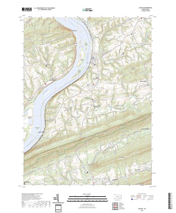
2023 Map of Halifax
USGS Topo · Published 2023About this map
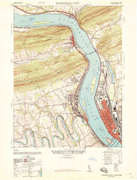
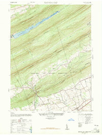
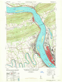
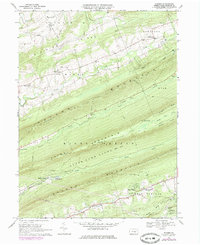
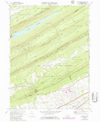
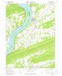
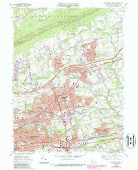
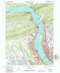
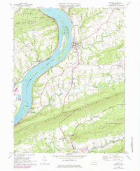
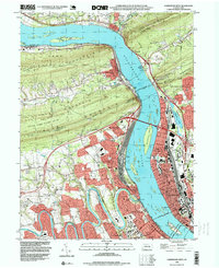
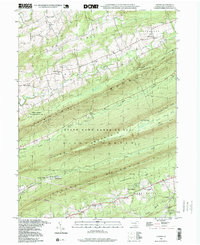
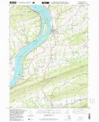
The Susquehanna River carves a deep valley through the ridges of central Pennsylvania, creating a series of prominent river islands including Haldeman Island, Bressler Island, and Lingle Island. This landscape is defined by the sharp east-west orientation of the Appalachian ridges, specifically Peters Mountain, Third Mountain, and Second Mountain. The river serves as a natural boundary between Perry and Dauphin counties, while the Susquehanna River Water Trail and the Appalachian National Scenic Trail provide modern recreational paths through these older corridors.
Find a feature on this map
47 named features on this map. Tap any name to fly to it.
Don’t see what you’re looking for? This feature index may not catch every label — zoom into the map to look around manually.
Map Details
Editions of this 2023 Halifax Map
This is the sole edition of this map. No revisions or reprints were ever made.
Historical Maps of Inglenook Through Time
22 maps found
1947 Enders
Dauphin County, PA
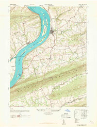
1947 Halifax
Dauphin County, PA
1947 Harrisburg East
Dauphin County, PA
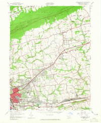
1947 Harrisburg West
Dauphin County, PA
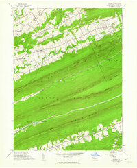
1947 Manada Gap
Dauphin County, PA
1963 Harrisburg West
Dauphin County, PA
1969 Enders
Dauphin County, PA
1969 Grantville
Dauphin County, PA
1969 Halifax
Dauphin County, PA
1969 Harrisburg East
Dauphin County, PA
1969 Harrisburg West
Dauphin County, PA
1977 Halifax
Dauphin County, PA
1993 Harrisburg East
Dauphin County, PA
1993 Harrisburg West
Dauphin County, PA
1995 Enders
Dauphin County, PA
1995 Halifax
Dauphin County, PA
1999 Grantville
Dauphin County, PA
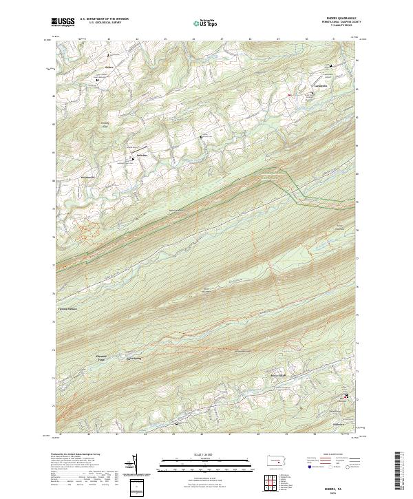
2023 Enders
Dauphin County, PA
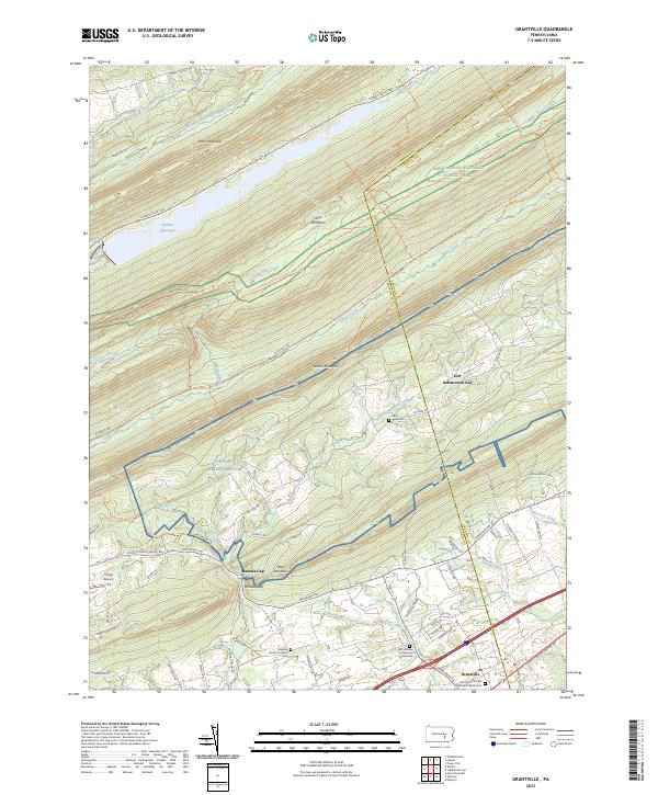
2023 Grantville
Dauphin County, PA
2023 Halifax
Dauphin County, PA
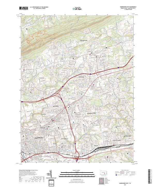
2023 Harrisburg East
Dauphin County, PA
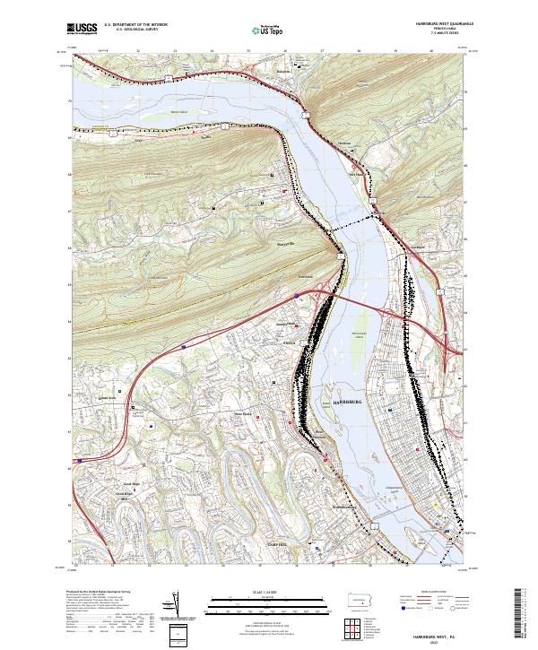
2023 Harrisburg West
Dauphin County, PA