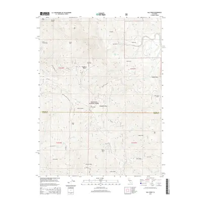
2015 Map of Hall Ridge
USGS Topo · Published 2015About this map
Whitlock Place, Houghton Place, and Wilder Place stand as key markers of early settlement and land use across this corner of the Mendocino National Forest. Straddling the border of Tehama and Glenn Counties, the landscape is defined by a series of prominent elevations including Hall Ridge, Digger Ridge, and Valley View Mountain. The map reveals a complex network of seasonal water sources and named springs like Buck Spring, Commissary Spring, and Daves Spring, which were vital for livestock and early inhabitants in this mountainous environment.
Find a feature on this map
50 named features on this map. Tap any name to fly to it.
Don’t see what you’re looking for? This feature index may not catch every label — zoom into the map to look around manually.
Map Details
Editions of this 2015 Hall Ridge Map
This is the sole edition of this map. No revisions or reprints were ever made.
Other maps of this area

1919 · Elk Creek
USGS Topo · 1:62,500

1948 · Elk Creek
USGS Topo · 1:62,500

1952 · Paskenta
USGS Topo · 1:62,500

1952 · Hull Mountain
USGS Topo · 1:62,500

1952 · Anthony Peak
USGS Topo · 1:62,500

1957 · Elk Creek
USGS Topo · 1:62,500

1957 · Ukiah
USGS Topo · 1:250,000

1960 · Ukiah
USGS Topo · 1:250,000
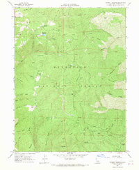
1967 · Plaskett meadows
USGS Topo · 1:24,000
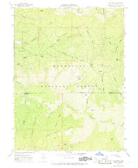
1967 · Log Spring
USGS Topo · 1:24,000