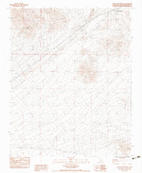
1983 Map of Halloran Springs
USGS Topo · Published 1983About this map
Halloran Springs serves as the focal point for this high-desert survey, which documents the infrastructure supporting early 1980s travel and settlement in San Bernardino County. The landscape is defined by vast drainage systems like Halloran Wash and Bull Spring Wash, while human activity is marked by an Underground Pipeline, a network of power lines, and extraction sites such as a Borrow Pit and several Gravel Pits.
Find a feature on this map
14 named features on this map. Tap any name to fly to it.
Don’t see what you’re looking for? This feature index may not catch every label — zoom into the map to look around manually.
Map Details
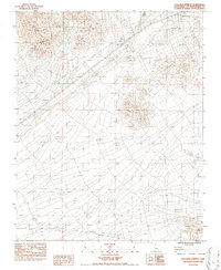
Editions of this 1983 Halloran Springs Map
2 editions found
Other maps of this area

1910 · Ivanpah
USGS Topo · 1:250,000

1912 · Ivanpah
USGS Topo · 1:250,000

1933 · Avawatz Mountains
USGS Topo · 1:250,000

1942 · Ivanpah
USGS Topo · 1:250,000

1947 · Trona
USGS Topo · 1:250,000

1947 · Kingman
USGS Topo · 1:250,000

1948 · Kingman
USGS Topo · 1:250,000

1948 · Trona
USGS Topo · 1:250,000

1953 · Trona
USGS Topo · 1:250,000

1954 · Kingman
USGS Topo · 1:250,000