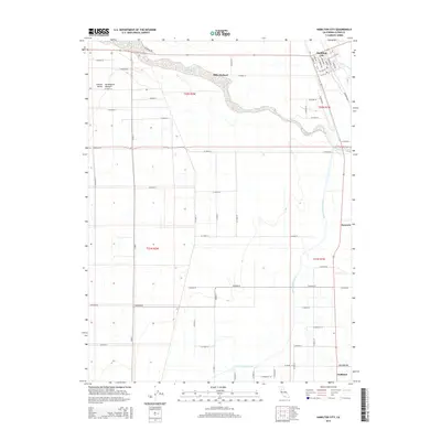
2015 Map of Hamilton City
USGS Topo · Published 2015About this map
Hamilton City stands as the primary hub of this northern California landscape where the Sacramento Valley meets the lower reaches of Stony Creek. The region is defined by intensive agriculture and water management, most notably seen in the expansive Mills Orchard and the engineered path of the Glenn-Colusa Canal as it traverses the eastern plains. The town site itself is meticulously plotted with a grid including Broadway, Main Street, and Shasta Avenue. To the south, smaller locales like Rotavele and Ordbend appear along the drainage systems, while a dense network of county roads, such as County Road 24 and Ord Ferry Road, connects the various sections and ranges. This survey captures a moment of modern irrigation and orchard farming in the fertile Central Valley.
Find a feature on this map
52 named features on this map. Tap any name to fly to it.
Don’t see what you’re looking for? This feature index may not catch every label — zoom into the map to look around manually.
Map Details
Editions of this 2015 Hamilton City Map
This is the sole edition of this map. No revisions or reprints were ever made.
Other maps of this area

1891 · Chico
USGS Topo · 1:125,000

1893 · Chico
USGS Topo · 1:125,000

1895 · Chico
USGS Topo · 1:125,000

1904 · Vina
USGS Topo · 1:62,500

1906 · Willows
USGS Topo · 1:62,500

1912 · Nord
USGS Topo · 1:31,680

1912 · Chico Landing
USGS Topo · 1:31,680
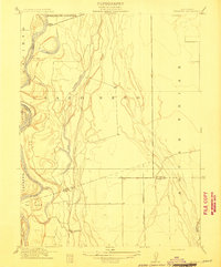
1912 · Newhard
USGS Topo · 1:31,680

1914 · Kirkwood
USGS Topo · 1:31,680

1914 · Orland
USGS Topo · 1:31,680