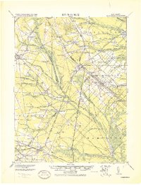
1919 Map of Hammonton
USGS Topo · Published 1919About this map
Winslow Junction stands as the critical rail hub of the New Jersey Pine Barrens on this 1919 military survey, where the Central Railroad of New Jersey and the Atlantic City Railroad create a dense network of transit for the region's agricultural and industrial outputs. The map documents an economy rooted in water power and farming, evidenced by sites like Bates' Mill, Gaine's Mill, and the Fruit Growers Union near Hammonton.
Find a feature on this map
101 named features on this map. Tap any name to fly to it.
Don’t see what you’re looking for? This feature index may not catch every label — zoom into the map to look around manually.
Map Details
Editions of this 1919 Hammonton Map
This is the sole edition of this map. No revisions or reprints were ever made.
Other maps of this area

1888 · Pemberton
USGS Topo · 1:62,500

1888 · Mount Holly
USGS Topo · 1:62,500

1890 · Great Egg Harbor
USGS Topo · 1:62,500

1890 · Hammonton
USGS Topo · 1:62,500

1890 · Tuckahoe
USGS Topo · 1:62,500

1890 · Bridgeton
USGS Topo · 1:62,500

1890 · Mullica
USGS Topo · 1:62,500

1890 · Glassboro
USGS Topo · 1:62,500

1891 · Philadelphia
USGS Topo · 1:62,500

1893 · Great Egg Harbor
USGS Topo · 1:62,500