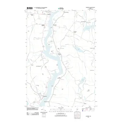
2011 Map of Hampden
USGS Topo · Published 2011About this map
The Penobscot River serves as the central artery for this part of Maine, dividing the settlements of Hampden and Orrington as it flows south toward Winterport. This 2011 survey captures a landscape defined by its river-fronting history, where old landings and mills likely once stood near points like Snub Point and Oak Point. Numerous family-named hills such as Page Hill and Jacob Buck Mountain rise above the waterway, suggesting the region's long-standing agricultural and timber roots.
Find a feature on this map
110 named features on this map. Tap any name to fly to it.
Don’t see what you’re looking for? This feature index may not catch every label — zoom into the map to look around manually.
Map Details
Editions of this 2011 Hampden Map
This is the sole edition of this map. No revisions or reprints were ever made.
Other maps of this area

1900 · Orland
USGS Topo · 1:62,500

1900 · Bucksport
USGS Topo · 1:62,500

1902 · Orono
USGS Topo · 1:62,500

1902 · Bucksport
USGS Topo · 1:62,500

1902 · Bangor
USGS Topo · 1:62,500

1942 · Orland
USGS Topo · 1:62,500

1942 · Bangor
USGS Topo · 1:62,500

1942 · Bucksport
USGS Topo · 1:62,500

1944 · Orono
USGS Topo · 1:62,500

1946 · Bangor
USGS Topo · 1:62,500